File:Reliefkarte Graubünden blank.png
Jump to navigation
Jump to search

Size of this preview: 800 × 593 pixels. Other resolutions: 320 × 237 pixels | 640 × 475 pixels | 1,024 × 760 pixels | 1,280 × 949 pixels | 2,560 × 1,899 pixels | 4,384 × 3,252 pixels.
Original file (4,384 × 3,252 pixels, file size: 13.84 MB, MIME type: image/png)
Captions
Captions
Add a one-line explanation of what this file represents
| Description |
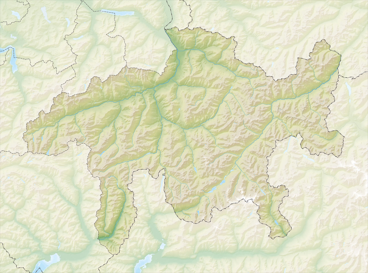
Deutsch: Reliefkarte des Kantons Graubünden
Topographischer Hintergrund: NASA Shuttle Radar Topography Mission (public domain). SRTM3 v.2. |
||||||||
| Date | |||||||||
| Source | Own work | ||||||||
| Author | Tschubby | ||||||||
| Permission (Reusing this file) |
I, the copyright holder of this work, hereby publish it under the following licenses:
This file is licensed under the Creative Commons Attribution-Share Alike 2.5 Generic, 2.0 Generic and 1.0 Generic license.
You may select the license of your choice. |
||||||||
| Other versions |
 |

File history
Click on a date/time to view the file as it appeared at that time.
| Date/Time | Thumbnail | Dimensions | User | Comment | |
|---|---|---|---|---|---|
| current | 20:18, 5 December 2013 | | 4,384 × 3,252 (13.84 MB) | Tschubby (talk | contribs) | {{Information |Description= |Source= |Date= |Author= |Permission= |other_versions= }} |
| 20:07, 5 December 2013 |  | 4,384 × 3,252 (13.87 MB) | Tschubby (talk | contribs) | {{Information |Description= {{de| Reliefkarte des Kantons Graubünden}} Topographischer Hintergrund: [http://www2.jpl.nasa.gov/srtm NASA Shuttle Radar Topography Mission] (public domain). SRTM3 v.2. |Source={{own}} |Date= 2013-12-05 |Author= [[:de:User... |
You cannot overwrite this file.
File usage on Commons
There are no pages that use this file.
File usage on other wikis
The following other wikis use this file:
- Usage on arz.wikipedia.org
- Usage on bg.wikipedia.org
- Usage on de.wikipedia.org
- Silsersee
- Silvaplanersee
- St. Moritzersee
- San-Bernardino-Pass
- Albula (Fluss)
- Piz Lunghin
- Flüelapass
- Hinterrhein
- St. Luzisteig
- Vereinalinie
- Piz Beverin
- Surselva
- Prättigau
- Bergell
- Lai da Sontga Maria
- Zapporthütte
- Palügletscher
- Lago Palü
- Lago di Poschiavo
- Silvrettagletscher
- Roseggletscher
- Tschiervagletscher
- Piz Palü
- Ruinaulta
- Zervreilasee
- Lai da Marmorera
- Sufnersee
- Lai da Curnera
- Lai da Nalps
- Landwasser (Albula)
- Wolfgang (Pass)
- Weisshorn (Arosa)
- Crap Sogn Gion
View more global usage of this file.