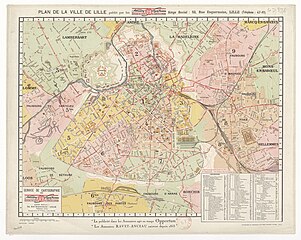
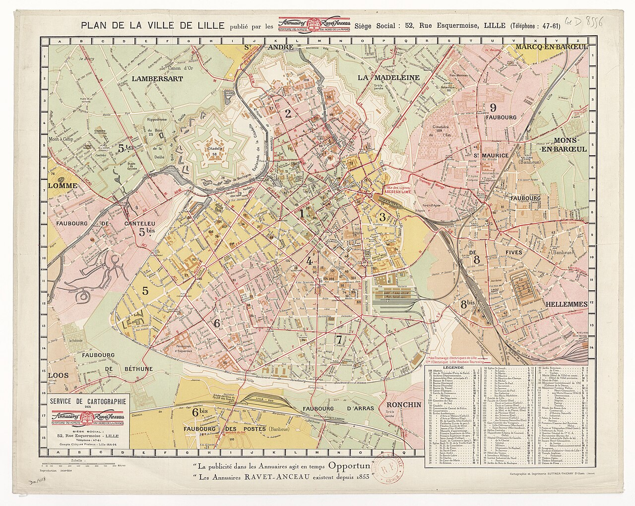
File:Plan de Lille 1930.jpg

Original file (8,996 × 7,174 pixels, file size: 11.33 MB, MIME type: image/jpeg)
Captions
Captions
Summary[edit]
| Title |
Plan de la ville de Lille publié par les annuaires Ravet-Anceau |
||||||||
| Description |
fr : Remarque : on observe encore sur cette carte la Rigole de dessèchement des marais de la Deûle (aussi dénommé Canal de la Tortue |
||||||||
| Date | |||||||||
| Source |
|
||||||||
| Creator |
Annuaires Ravet-Anceau commande Buttner-Thierry Saint-Ouen réalisation |
||||||||
| Permission (Reusing this file) |
|
||||||||
| Geotemporal data | |||||||||
| Date depicted | |||||||||
| Map location | Lille | ||||||||
| Bibliographic data | |||||||||
| Language | French | ||||||||
| Place of publication | Lille | ||||||||
| Publisher |
Buttner-Thierry Saint-Ouen |
||||||||
| Printed by |
Buttner-Thierry Saint-Ouen |
||||||||
| Archival data | |||||||||
| Dimensions | height: 42 cm (16.5 in); width: 50 cm (19.6 in) | ||||||||
File history
Click on a date/time to view the file as it appeared at that time.
| Date/Time | Thumbnail | Dimensions | User | Comment | |
|---|---|---|---|---|---|
| current | 13:14, 9 July 2018 | | 8,996 × 7,174 (11.33 MB) | Arflhn (talk | contribs) | User created page with UploadWizard |
You cannot overwrite this file.
File usage on Commons
The following 6 pages use this file:
- User:J budissin/Uploads/BiH/2019 December 11-20
- File:Ark-12148-btv1b8458927p.jpg (file redirect)
- File:Ark 12148 btv1b8458927p.jpg (file redirect)
- File:Plan de Lille 1930 Ravet-Anceau.jpg (file redirect)
- File:Plan de Lille en 1930 Ravet-Anceau.png (file redirect)
- File:Ravet Anceau.jpg (file redirect)
File usage on other wikis
The following other wikis use this file:
- Usage on fr.wikipedia.org