File:Olymbosmap.png
Jump to navigation
Jump to search
No higher resolution available.
Olymbosmap.png (500 × 347 pixels, file size: 267 KB, MIME type: image/png)
Captions
Captions
Add a one-line explanation of what this file represents
Summary[edit]
| Description |
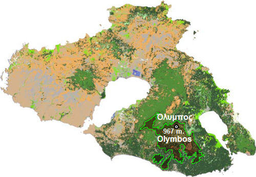
Ελληνικά: Χάρτης της θέσης του Όρους Ολύμπου. |
| Date | 08-01-2008 |
| Source | Επεξεργασμένος χάρτης δεδομένων. |
| Author | Εγώ [Fallacia83] επεξεργάστηκα τα δεδομένα για Όλυμπος. |
Licensing[edit]

|
This file is missing source information. Source information must be provided so that the copyright status can be verified by others. Unless the source is given, the file will be deleted. |
| This work has been released into the public domain by its author, {{{1}}}. This applies worldwide. In some countries this may not be legally possible; if so: {{{1}}} grants anyone the right to use this work for any purpose, without any conditions, unless such conditions are required by law.
|
Original upload log[edit]
The original description page was here. All following user names refer to el.wikipedia.
| Date/Time | Dimensions | User | Comment |
|---|---|---|---|
| 2008-01-08 17:09 | 500×347× (273895 bytes) | Fallacia83 | {{Πληροφορίες εικόνας |Περιγραφή= Χάρτης της θέσης του Όρους Ολύμπου. |Πηγή= Επεξεργασμένος χάρτης δεδομένων. |Ημερομηνία= 08-01-2008 |Δημιουργός= |
File history
Click on a date/time to view the file as it appeared at that time.
| Date/Time | Thumbnail | Dimensions | User | Comment | |
|---|---|---|---|---|---|
| current | 19:03, 2 March 2015 | | 500 × 347 (267 KB) | Knochen (talk | contribs) | Transferred from el.wikipedia |
You cannot overwrite this file.
File usage on Commons
There are no pages that use this file.
File usage on other wikis
The following other wikis use this file:
- Usage on de.wikipedia.org
- Usage on el.wikipedia.org
- Usage on fr.wikipedia.org