File:Mappa della Lake Como Poetry Way in alta risoluzione.pdf
Jump to navigation
Jump to search

Size of this JPG preview of this PDF file: 800 × 593 pixels. Other resolutions: 320 × 237 pixels | 640 × 474 pixels | 1,024 × 759 pixels | 1,280 × 948 pixels | 2,560 × 1,896 pixels | 3,889 × 2,881 pixels.

Original file (3,889 × 2,881 pixels, file size: 33.87 MB, MIME type: application/pdf, 2 pages)
Captions
Captions
Lake Como Poetry Way map HD
Summary[edit]
| Description |
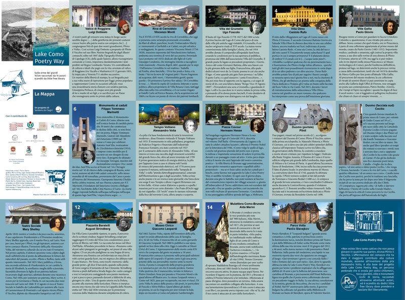
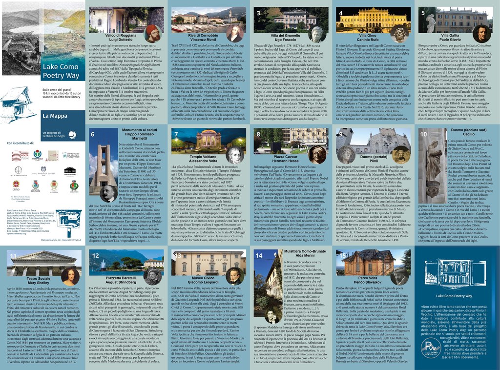
Italiano: Mappa della Lake Como Poetry Way, un percorso pedonale di 16 km, raccontato attraverso 16 autori e scandito da 12 casette per lo scambio di libri, che collega i Comuni di Maslianico, Cernobbio, Como e Brunate |
| Date | |
| Source | Own work, together with Commons images listed below. Map from Open Street Map. |
| Author |
|


.jpg)


_-_ritr._A_Ferrazzi,_Recanati,_casa_Leopardi.jpg)

.JPG)
Licensing[edit]
I, the copyright holder of this work, hereby publish it under the following license:
This file is licensed under the Creative Commons Attribution-Share Alike 4.0 International license.
- You are free:
- to share – to copy, distribute and transmit the work
- to remix – to adapt the work
- Under the following conditions:
- attribution – You must give appropriate credit, provide a link to the license, and indicate if changes were made. You may do so in any reasonable manner, but not in any way that suggests the licensor endorses you or your use.
- share alike – If you remix, transform, or build upon the material, you must distribute your contributions under the same or compatible license as the original.
File history
Click on a date/time to view the file as it appeared at that time.
| Date/Time | Thumbnail | Dimensions | User | Comment | |
|---|---|---|---|---|---|
| current | 12:23, 9 March 2020 |  | 3,889 × 2,881, 2 pages (33.87 MB) | Mirna.ortizl (talk | contribs) | Uploaded own work with UploadWizard |
You cannot overwrite this file.
File usage on Commons
There are no pages that use this file.