File:Map New Orleans.jpg
Jump to navigation
Jump to search

Size of this preview: 800 × 553 pixels. Other resolutions: 320 × 221 pixels | 640 × 442 pixels | 1,024 × 707 pixels | 1,280 × 884 pixels | 2,397 × 1,656 pixels.
Original file (2,397 × 1,656 pixels, file size: 738 KB, MIME type: image/jpeg)
Captions
Captions
Add a one-line explanation of what this file represents
Summary[edit]
| Description |
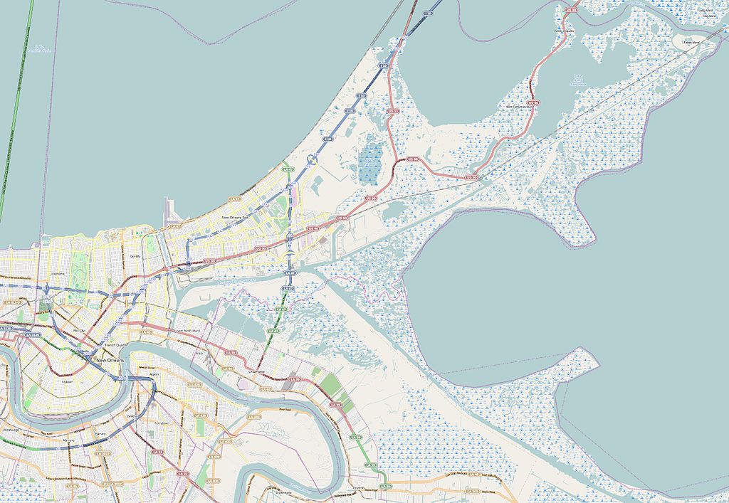
This map of New Orleans was created from OpenStreetMap project data, collected by the community. This map may be incomplete, and may contain errors. Don't rely solely on it for navigation. |
|||||||||
| Date | (see file history) | |||||||||
| Source | openstreetmap.org | |||||||||
| Creator |
OpenStreetMap contributors |
|||||||||
| Permission (Reusing this file) |
OpenStreetMap data and maps are licensed under the Creative Commons Attribution-ShareAlike 2.0 license (CC-BY-SA 2.0). This file is licensed under the Creative Commons Attribution-Share Alike 2.0 Generic license.
|
|||||||||
| Geotemporal data | ||||||||||
| Bounding box |
|
|||||||||
| Georeferencing | If inappropriate please set warp_status = skip to hide. | |||||||||
Licensing[edit]
This file is licensed under the Creative Commons Attribution-Share Alike 3.0 Unported license.
- You are free:
- to share – to copy, distribute and transmit the work
- to remix – to adapt the work
- Under the following conditions:
- attribution – You must give appropriate credit, provide a link to the license, and indicate if changes were made. You may do so in any reasonable manner, but not in any way that suggests the licensor endorses you or your use.
- share alike – If you remix, transform, or build upon the material, you must distribute your contributions under the same or compatible license as the original.
File history
Click on a date/time to view the file as it appeared at that time.
| Date/Time | Thumbnail | Dimensions | User | Comment | |
|---|---|---|---|---|---|
| current | 09:23, 28 August 2014 | | 2,397 × 1,656 (738 KB) | XIIIfromTOKYO (talk | contribs) | User created page with UploadWizard |
You cannot overwrite this file.
File usage on Commons
The following page uses this file:
File usage on other wikis
The following other wikis use this file:
- Usage on ar.wikipedia.org
- Usage on azb.wikipedia.org
- Usage on de.wikipedia.org
- Usage on en.wikipedia.org
- Tulane University
- Smoothie King Center
- Touro Synagogue (New Orleans)
- Spanish Fort (New Orleans)
- Fort Macomb
- Musicians' Village
- Fort Pike
- Gentilly, New Orleans
- Fourth Church of Christ, Scientist (New Orleans)
- James H. Dillard House
- Parkview Historic District (New Orleans, Louisiana)
- Anshe Sfard
- Yulman Stadium
- Contemporary Arts Center (New Orleans)
- Faubourg Livaudais
- Module:Location map/data/United States New Orleans
- Module:Location map/data/United States New Orleans/doc
- Temple Sinai (New Orleans, Louisiana)
- Usage on eo.wikipedia.org
- Usage on eu.wikipedia.org
- Usage on fr.wikipedia.org
- Vieux carré français
- Université Tulane
- Fort Pike
- Fort Macomb
- Tremé
- Maison Napoléon
- Fort Saint-Jean (Louisiane française)
- Marché français
- Couvent des Ursulines (La Nouvelle-Orléans)
- Université Loyola de La Nouvelle-Orléans
- Consulat général de France à La Nouvelle-Orléans
- Université Dillard
- Université Xavier de Louisiane
- Pelican Stadium
- Maestri Field
- Modèle:Géolocalisation/La Nouvelle-Orléans
- Wikipédia:Atelier graphique/Cartes/Archives/septembre 2014
- WDSU
- Université de La Nouvelle-Orléans
- Edgelake
- Naval Support Activity New Orleans
- Usage on it.wikipedia.org
- Usage on ja.wikipedia.org
View more global usage of this file.