File:Map Bohusbanen.png
Jump to navigation
Jump to search
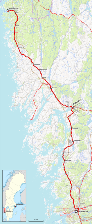
Size of this preview: 248 × 600 pixels. Other resolutions: 99 × 240 pixels | 198 × 480 pixels | 317 × 768 pixels | 423 × 1,024 pixels | 1,654 × 4,000 pixels.
Original file (1,654 × 4,000 pixels, file size: 7.95 MB, MIME type: image/png)
Captions
Captions
Add a one-line explanation of what this file represents
Summary[edit]
| Description |
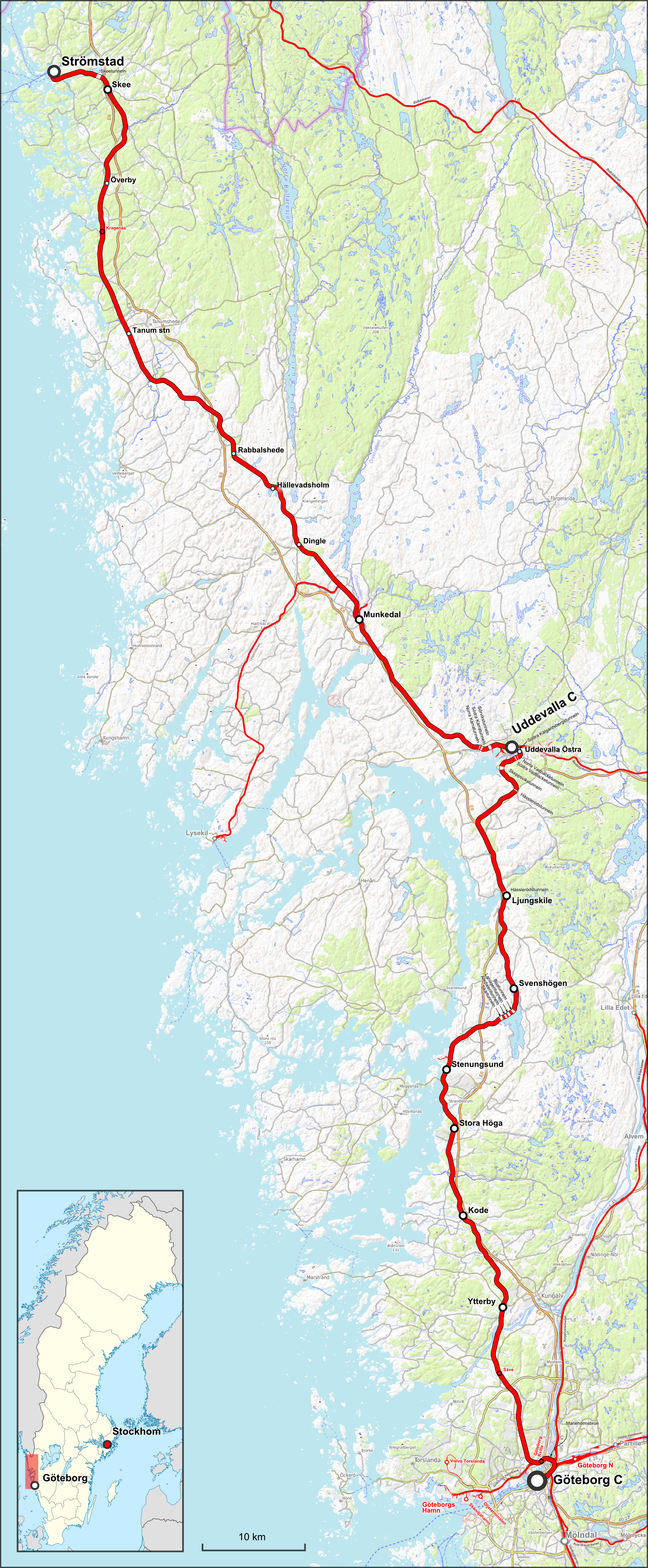
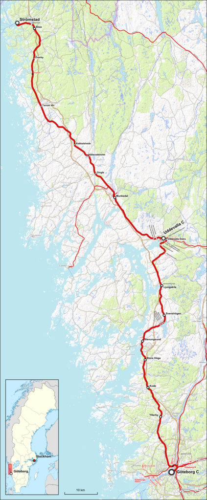
Deutsch: Karte der Bohusbanan in Schweden English: Map of Bohus_Line |
| Date | |
| Source |
Map was created using:
|
| Creator | |
| Permission (Reusing this file) |
|
| Georeferencing | If inappropriate please set warp_status = skip to hide. |
| Other versions |
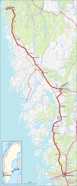
Bohus line OSM.png:  |
Licensing[edit]
I, the copyright holder of this work, hereby publish it under the following license:
This file is licensed under the Creative Commons Attribution-Share Alike 3.0 Unported license.
Attribution: OpenTopoMap, Peter Christener
- You are free:
- to share – to copy, distribute and transmit the work
- to remix – to adapt the work
- Under the following conditions:
- attribution – You must give appropriate credit, provide a link to the license, and indicate if changes were made. You may do so in any reasonable manner, but not in any way that suggests the licensor endorses you or your use.
- share alike – If you remix, transform, or build upon the material, you must distribute your contributions under the same or compatible license as the original.
| This work is licensed under the Open Database License (summary). |
File history
Click on a date/time to view the file as it appeared at that time.
| Date/Time | Thumbnail | Dimensions | User | Comment | |
|---|---|---|---|---|---|
| current | 12:36, 20 May 2018 | 1,654 × 4,000 (7.95 MB) | Pechristener (talk | contribs) | location map added | |
| 12:12, 20 May 2018 | 2,438 × 5,898 (13.38 MB) | Pechristener (talk | contribs) | {{Information |description={{de|Karte der Bohusbanan in Schweden}}{{en|Map of {{w|Bohus_Line}}}} |source= Map was created using: *[http://www.openstreetmap.org/ Open Street Map] *[http://opentopomap.org/ Open Topo Map] for background *{{f|Sweden location map.svg}} for location map |date=2018-05-20 |author= *Pechristener *File:Sweden location map.svg: NordNordWest, Larske |permission= * Map data (c)... |
You cannot overwrite this file.
File usage on Commons
The following 6 pages use this file:
File usage on other wikis
The following other wikis use this file:
- Usage on de.wikipedia.org
- Usage on en.wikipedia.org
- Usage on fr.wikipedia.org
- Usage on pl.wikipedia.org
- Usage on pt.wikipedia.org
- Usage on sv.wikipedia.org
- Usage on www.wikidata.org