File:Madison Square 1857 real estate map.jpg
Jump to navigation
Jump to search

Size of this preview: 796 × 599 pixels. Other resolutions: 319 × 240 pixels | 638 × 480 pixels | 1,020 × 768 pixels | 1,280 × 964 pixels | 2,560 × 1,928 pixels | 6,085 × 4,582 pixels.
Original file (6,085 × 4,582 pixels, file size: 15.21 MB, MIME type: image/jpeg)
Captions
Captions
Add a one-line explanation of what this file represents
Summary[edit]
| Description |
|
| Date | |
| Source | NYPL Digital Gallery |
| Author | William Perris |
| Object location | | View this and other nearby images on: OpenStreetMap |
|---|
Licensing[edit]
This media file is in the public domain in the United States. This applies to U.S. works where the copyright has expired, often because its first publication occurred prior to January 1, 1929, and if not then due to lack of notice or renewal. See this page for further explanation.
|
 | |
 |
This image might not be in the public domain outside of the United States; this especially applies in the countries and areas that do not apply the rule of the shorter term for US works, such as Canada, Mainland China (not Hong Kong or Macao), Germany, Mexico, and Switzerland. The creator and year of publication are essential information and must be provided. See Wikipedia:Public domain and Wikipedia:Copyrights for more details.
|
File history
Click on a date/time to view the file as it appeared at that time.
| Date/Time | Thumbnail | Dimensions | User | Comment | |
|---|---|---|---|---|---|
| current | 07:23, 1 June 2016 | | 6,085 × 4,582 (15.21 MB) | Pointillist (talk | contribs) | (1) Retrieve original from http://digitalcollections.nypl.org/items/510d47e0-bf7b-a3d9-e040-e00a18064a99#. (2) Increase contrast. (3) Crop to map extents. |
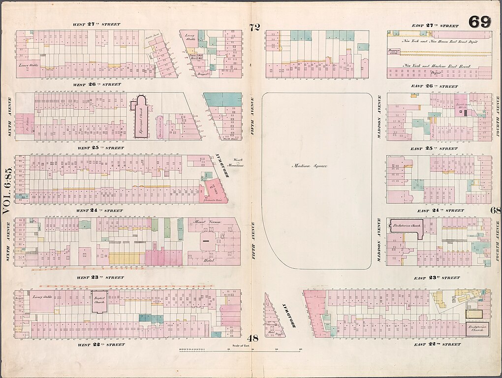
| 23:58, 12 June 2010 |  | 760 × 574 (85 KB) | Beyond My Ken (talk | contribs) | New York Public Library Digital Collection information: *Image Title: [Plate 69: Map bounded by West 27th Street, East 27th Street, Fourth Avenue, East 22nd Street, West 22nd Street, Sixth Avenue.] *Creator: Perris, William -- Cartographer *Additional |
You cannot overwrite this file.
File usage on Commons
The following page uses this file:
- File:Madison Square 1853 real estate map.jpg (file redirect)
File usage on other wikis
The following other wikis use this file:
- Usage on en.wikipedia.org
- Usage on fi.wikipedia.org
Metadata
Categories:
- Perris & Browne maps of Manhattan published in 1859 (V. 5–6)
- Madison Square and Madison Square Park
- Old maps of Manhattan, New York City
- Flatiron District, Manhattan
- NoMad, Manhattan
- Rose Hill, Manhattan
- 22nd Street (Manhattan)
- 27th Street (Manhattan)
- 24th Street (Manhattan)
- 25th Street (Manhattan)
- 26th Street (Manhattan)
- 1857 maps