File:Lienchangadm.svg
Jump to navigation
Jump to search

Size of this PNG preview of this SVG file: 735 × 600 pixels. Other resolutions: 294 × 240 pixels | 588 × 480 pixels | 941 × 768 pixels | 1,255 × 1,024 pixels | 2,509 × 2,048 pixels | 822 × 671 pixels.
Original file (SVG file, nominally 822 × 671 pixels, file size: 236 KB)
Captions
Captions
Add a one-line explanation of what this file represents
Summary
[edit]| Description |
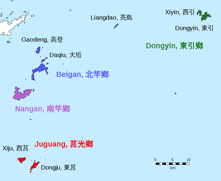
中文(繁體):連江縣地圖、馬祖列島、台灣 中文(臺灣):連江縣地圖、馬祖列島、台灣 中文(简体):連江縣地图、马祖列岛、台湾 閩東語 / Mìng-dĕ̤ng-ngṳ̄:Lièng-gŏng-gâing, Mā-cū, dō̤ (連江縣、马祖列岛、台湾) 閩南語 / Bân-lâm-gú:Liân-kang kōan-chì, Má-chó·-tó, Tiong-kok (連江縣、马祖列岛、台湾) Deutsch: Karte der Verwaltungsgliederung der Matsu-Inseln. English: Map of administrative division of Lienchiang District. Português: Mapa administrativa da Liánjiāng (Ilhas Mǎzǔ), República da China (Taiwan) |
||
| Date | |||
| Source | http://www.openstreetmap.org/#map=10/26.0938/120.1650, 2017-12-28 | ||
| Author | Furfur | ||
| Permission (Reusing this file) |
I, the copyright holder of this work, hereby publish it under the following licenses:
This file is licensed under the Creative Commons Attribution-Share Alike 4.0 International license.
You may select the license of your choice. |
||
| Other versions |
|
||
| SVG development | This vector image was created with Adobe Illustrator. |


File history
Click on a date/time to view the file as it appeared at that time.
| Date/Time | Thumbnail | Dimensions | User | Comment | |
|---|---|---|---|---|---|
| current | 08:27, 19 September 2019 | | 822 × 671 (236 KB) | Furfur (talk | contribs) | Detail (weißer Hintergrund) |
| 08:08, 19 September 2019 |  | 822 × 671 (240 KB) | Furfur (talk | contribs) | error corrections, added coastline of PRC | |
| 20:44, 25 April 2019 |  | 822 × 671 (170 KB) | Furfur (talk | contribs) | font cosmetics | |
| 00:00, 22 April 2019 |  | 822 × 671 (171 KB) | Furfur (talk | contribs) | + scale | |
| 22:38, 27 January 2018 |  | 822 × 671 (187 KB) | Furfur (talk | contribs) | ligher sea color | |
| 22:34, 27 January 2018 |  | 822 × 671 (186 KB) | Furfur (talk | contribs) | darker colors | |
| 21:31, 30 December 2017 |  | 822 × 671 (186 KB) | Furfur (talk | contribs) | Kosmetik | |
| 01:08, 30 December 2017 |  | 822 × 671 (187 KB) | Furfur (talk | contribs) | ... und erneut | |
| 01:02, 30 December 2017 |  | 822 × 671 (185 KB) | Furfur (talk | contribs) | neue Optik ... | |
| 00:26, 29 December 2017 |  | 822 × 671 (178 KB) | Furfur (talk | contribs) | Kosmetik |
You cannot overwrite this file.
File usage on Commons
The following page uses this file:
File usage on other wikis
The following other wikis use this file:
- Usage on de.wikipedia.org
- Usage on de.wikivoyage.org
- Usage on fi.wikipedia.org