File:Karte Kaisergebirge.png
Jump to navigation
Jump to search
Size of this preview: 800 × 562 pixels. Other resolutions: 320 × 225 pixels | 640 × 450 pixels | 1,024 × 720 pixels | 1,280 × 900 pixels | 2,649 × 1,862 pixels.
Original file (2,649 × 1,862 pixels, file size: 1.22 MB, MIME type: image/png)
Captions
Captions
Add a one-line explanation of what this file represents
Summary[edit]
| Description |
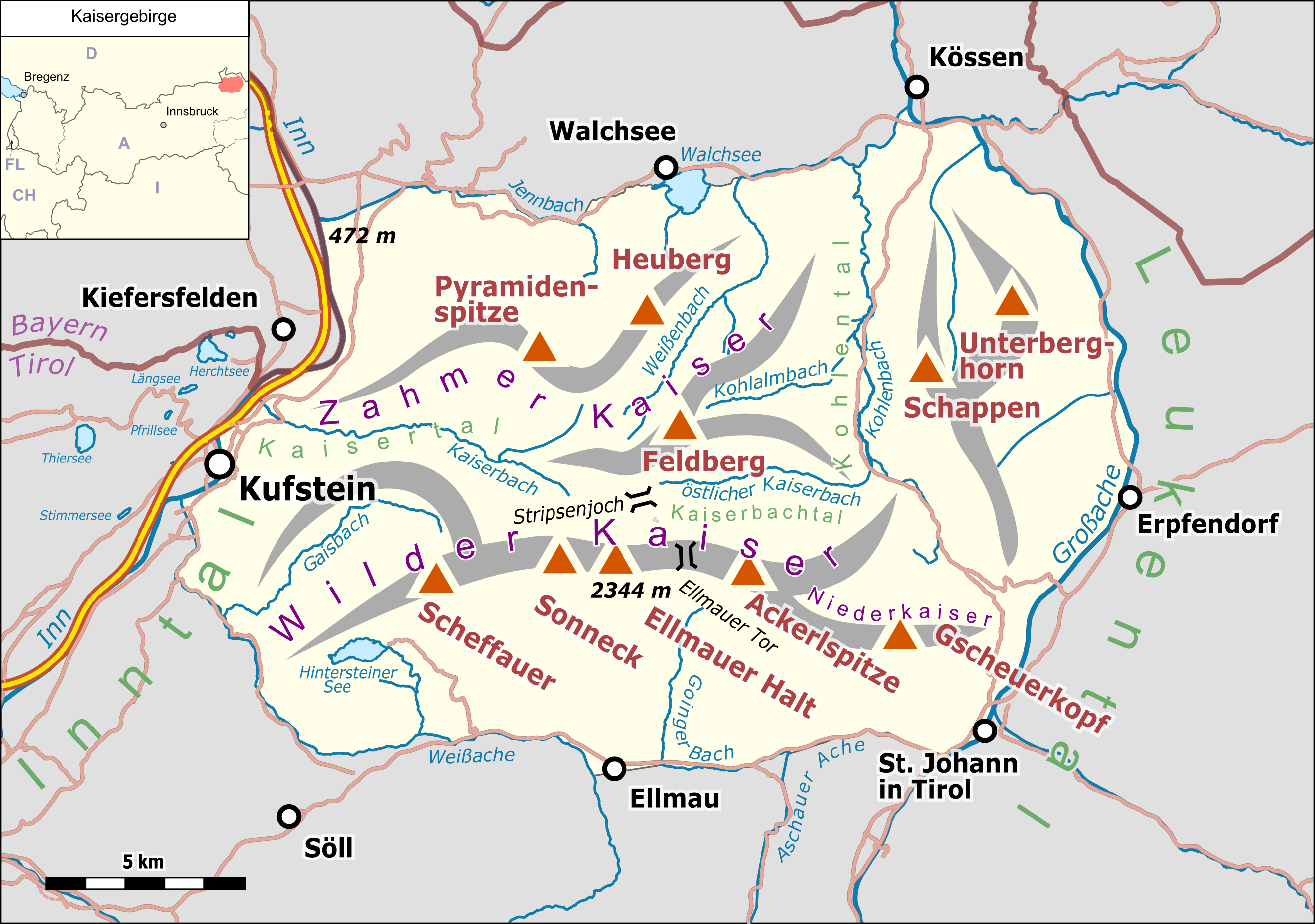
Deutsch: Übersichtskarte des Kaisergebirges. |
|||||||||
| Date | ||||||||||
| Source |
Own work Map was created using:
|
|||||||||
| Creator |
|
|||||||||
| Permission (Reusing this file) |
Map data (c) OpenStreetMap (and) contributors, CC-BY-SA | |||||||||
| Geotemporal data | ||||||||||
| Bounding box |
|
|||||||||
| Georeferencing | ||||||||||
| This work is licensed under the Open Database License (summary). |
File history
Click on a date/time to view the file as it appeared at that time.
| Date/Time | Thumbnail | Dimensions | User | Comment | |
|---|---|---|---|---|---|
| current | 23:34, 27 January 2019 | | 2,649 × 1,862 (1.22 MB) | Pechristener (talk | contribs) | small corrections |
| 16:06, 7 June 2018 |  | 2,649 × 1,862 (1.22 MB) | Pechristener (talk | contribs) | Typo 'Ellmauer Tor' repariert | |
| 19:15, 3 June 2018 |  | 2,649 × 1,862 (1.22 MB) | Pechristener (talk | contribs) | Location Map hinzu | |
| 18:54, 3 June 2018 |  | 2,649 × 1,862 (1.2 MB) | Pechristener (talk | contribs) | {{Map |Description={{de|1=Übersichtskarte der {{w|Kaisergebirge|Kaisergebirges|de}}. }} |Source ={{own}} Map was created using: *[http://www.openstreetmap.org/ Open Street Map] Data *{{w|Austria location map.svg}} for location map |Author = *Hauptkarte: Pechristener *{{w|Austria location map.svg}} : NordNordWest, {{u|Lencer}} |Date =2017-06-03 |Permission =Map data (c) OpenStreetMap (and) contributors, CC-BY-SA |ot... |
You cannot overwrite this file.
File usage on Commons
The following 5 pages use this file:
File usage on other wikis
The following other wikis use this file:
- Usage on arz.wikipedia.org
- Usage on de.wikipedia.org
- Kaisergebirge
- Stripsenjoch
- Ellmauer Halt
- Kaindlhütte
- Ellmauer Tor
- Hans-Berger-Haus
- Liste der Gebirgsgruppen in den Ostalpen (nach AVE)
- Babenstuberhütte
- Vorlage:Positionskarte Kaisergebirge
- Wikipedia:WikiProjekt Österreich/WD/Kitzbühel
- Wikipedia:WikiProjekt Österreich/WD/Kufstein
- Benutzer Diskussion:Pechristener/Alpenkarten
- Usage on it.wikipedia.org
- Usage on ro.wikipedia.org
- Usage on www.wikidata.org