File:Illustrated Work on the Storage and Drainage Activities at the Lakes and Rivers of the Yellow River and the Grand Canal WDL11388.pdf
Jump to navigation
Jump to search

Size of this JPG preview of this PDF file: 349 × 598 pixels. Other resolutions: 140 × 240 pixels | 280 × 480 pixels | 448 × 768 pixels | 597 × 1,024 pixels | 2,187 × 3,750 pixels.

Original file (2,187 × 3,750 pixels, file size: 9.68 MB, MIME type: application/pdf, 53 pages)
Captions
Captions
Add a one-line explanation of what this file represents
Summary[edit]
| Title |
Русский: Иллюстрированный труд о сохранении и осушении озер и рек Желтой реки и Великого канала
Français : Ouvrage illustré sur les activités de retenue et de drainage des lacs et des rivières du fleuve Jaune et du Grand canal
English: Illustrated Work on the Storage and Drainage Activities at the Lakes and Rivers of the Yellow River and the Grand Canal
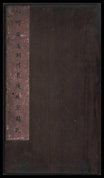
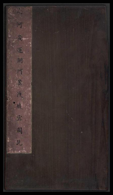
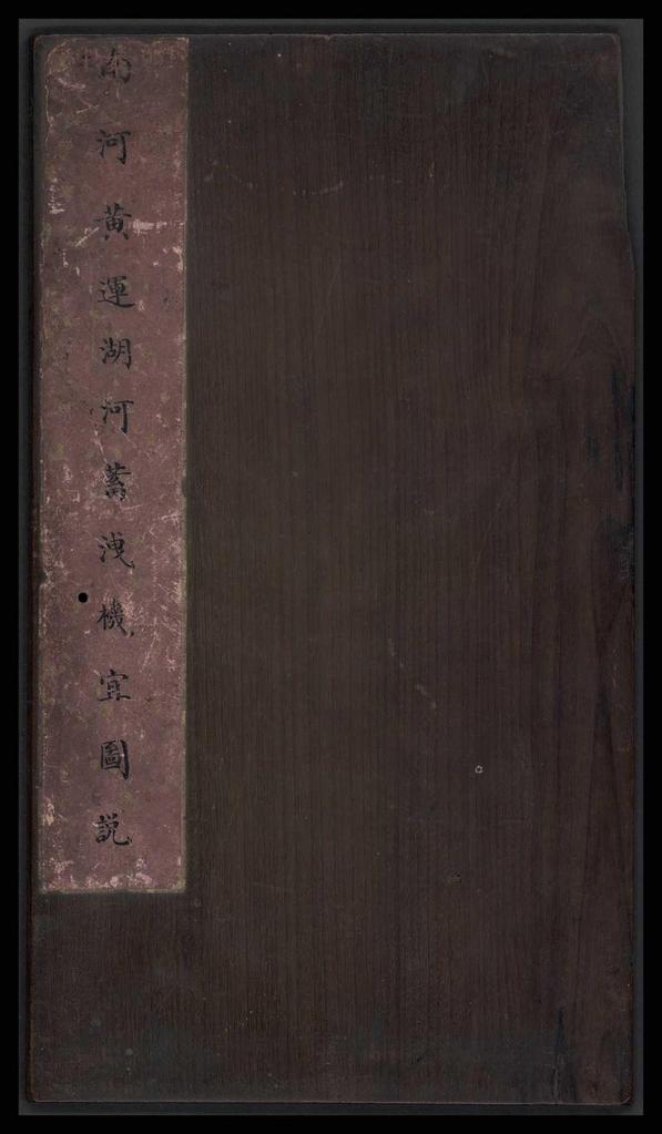
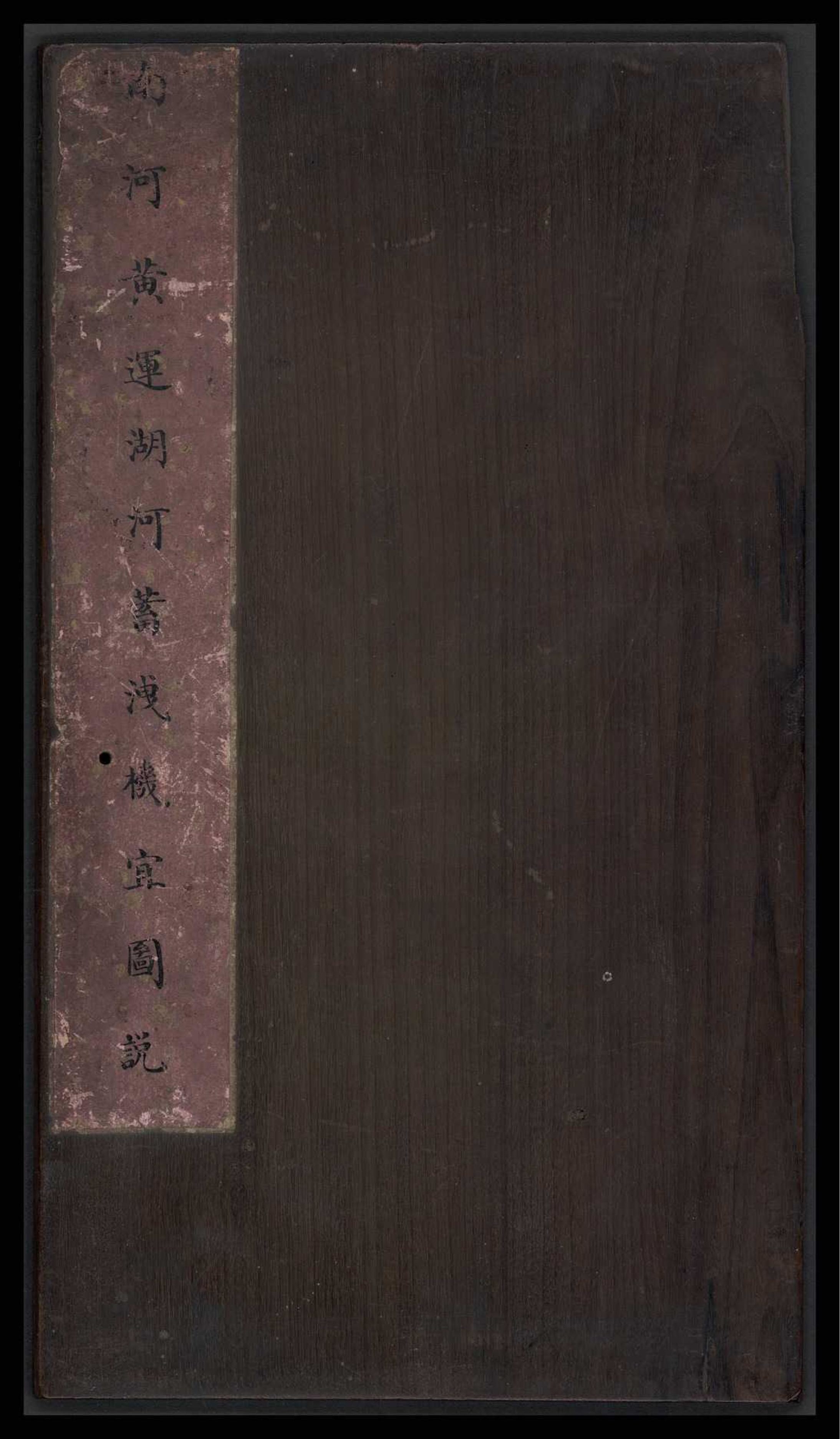
中文:南河黄运湖河蓄洩机宜图说
Português: Obra ilustrada sobre as atividades de armazenamento e drenagem nos lagos e rios do Rio Amarelo e do Grande Canal
العربية: عمل إيضاحي لأعمال التخزين ومجاري المياه ببحيرات وأنهار النهر الأصفر والقناة الكبرى
Español: Obra ilustrada sobre las actividades de canalización y almacenamiento en los lagos y en los ríos del río Amarillo y del Gran Canal |
| Description |
Русский: Этот труд первоначально входил в императорскую коллекцию династии Цин. Представленные в нем живописные иллюстрации отличаются особой изысканностью. Заголовок в верхней части гласит: "Huang Yun hu he zong tu" ("Общая карта озер и рек Желтой реки и Великого канала"). В работе описывается Дацзян (река Янцзы), протекающая на юге до границ Шаньдуна, Хэнаня и Цзяннаня на севере. В ней детально прорисованы притоки, гавани и мосты через реки и озера, а также приведены два эссе: "Nan xun sheng dian tu shuo" ("Иллюстрированное описание великого события — Южной инспекции") и "Huang Yun hu he gengzi tu shuo" ("Изображения озер и рек Желтой реки и Великого канала в год Гэнцзы"). Помимо этого представлены 18 картин, изображающих сцены на Желтой реке, Великом канале, Цзюньма-ху, Хунцзэ-ху, Вэйшань-ху, Хуайхэ и так далее. В отличие от современных работ, направления указаны наоборот: юг сверху, север снизу, запад справа, а восток слева. Ко всем картам прилагаются тексты, по большей части с цитатами из петиций императорского двора по вопросам сохранения рек; они служат дополнениями к иллюстрациям и содержат историческую информацию. В конце работы стоит красный квадратный оттиск с шестью иероглифами "Jiaqing yu lan zhi bao" ("Сокровище императора Цзяцина"). В надписи на оригинальной коробке говорится: "Nan He Huang Yun hu he xu xie ji yi tu shuo" ("Иллюстрированный труд о сохранении и осушении озер и рек Желтой реки и Великого канала"). К сожалению, книга была серьезно повреждена червями, и ее сложенные листы сломались. Тем не менее это единственная существующая копия в мире, и она представляет огромную ценность. Эта работа впоследствии была приобретена Юй Шаосуном (1882–1949 гг.), художником и преподавателем истории искусств. На ней стоят два белых квадратных оттиска владельца.
Большой канал (Китай); Рукописные карты; Реки; Развитие водных ресурсов; Водоснабжение; Река Янцзы (Китай); Желтая река, (Китай) Français : Cet ouvrage faisait initialement partie de la collection impériale Qing. Il comporte des peintures magnifiquement exécutées. Le titre Huang Yun hu he zong tu (Carte générale des lacs et des rivières du fleuve Jaune et du Grand canal) apparaît au début du livre. L'ouvrage représente le Yangzi Jiang (fleuve Yang-Tsé), dans le sud, jusqu'aux frontières des provinces du Shandong, du Henan et de Jiangnan, au nord. Il comprend des scènes détaillées des affluents, des ports, et des ponts sur les lacs et les rivières. Ces représentations sont suivies de deux essais, Nan xun sheng dian tu shuo (Grande occasion illustrée de l'inspection du Sud) et Huang Yun hu he gengzi tu shuo (Illustrations des lacs et des rivières du fleuve Jaune et du Grand canal durant l'année Gengzi), ainsi que de 18 peintures de scènes du fleuve Jaune, du Grand canal, du Junma Hu, de l'Hongze Hu, du Weishan Hu, de l'Huai He, etc. Les points cardinaux utilisés sont inversés par rapport à la pratique de l'ère moderne : le sud est placé en haut, le nord en bas, l'ouest à droite et l'est à gauche. Toutes les cartes sont accompagnées de textes, citant principalement des extraits destinés à la cour impériale concernant les problèmes de conservation des fleuves, qui viennent compléter les illustrations et fournissent des informations historiques. Un sceau rouge et de forme carrée contenant six caractères Jiaqing yu lan zhi bao (Le trésor de l'empereur Jiaqing) apparaît à la fin de l'ouvrage. L'étiquette sur le boîtier d'origine indique : Nan He Huang Yun hu he xu xie ji yi tu shuo (Ouvrage illustré sur les activités de retenue et de drainage des lacs et des rivières du fleuve Jaune et du Grand canal). Malheureusement, le livre a considérablement été abîmé par les vers et le papier s'est détaché le long des plis. Malgré cela, il s'agit d'un trésor inestimable, car c'est l'unique exemplaire au monde subsistant aujourd'hui. Cet ouvrage fut par la suite acquis par Yu Shaosong (1882–1949), peintre et professeur d'histoire de l'art. Il conserve ses deux sceaux carrés blancs.
Grand canal (Chine); Cartes manuscrites; Rivières, fleuves et cours d'eau; Développement des ressources en eau; Approvisionnement en eau; Fleuve Yang-Tsé (Chine); Fleuve Jaune (Chine) English: This work was originally in the Qing imperial collection. The painting of the work was executed in an exquisite manner. A title at head of the work reads: Huang Yun hu he zong tu (The overall map of the lakes and rivers of the Yellow River and the Grand Canal). The work depicts Dajiang (the Yangtze River) in the south up to the borders of Shandong, Henan, and Jiangnan in the north. It has detailed scenes of the tributaries, harbors, and bridges of the lakes and rivers, followed by two essays: Nan xun sheng dian tu shuo (Illustrated grand occasion of the Southern Inspection) and Huang Yun hu he gengzi tu shuo (Illustrations of the lakes and rivers of the Yellow River and the Grand Canal in the Year of Gengzi) and 18 paintings, depicting scenes of the Yellow River, the Grand Canal, Junma Lake, Hongze Lake, Weishan Lake, Huai River, and so forth. Directions used are the opposite of the modern-day practice, with south on the top, north at the bottom, west on the right and east on the left. All maps have texts attached, mostly quoting memorials to the imperial court on issues of river conservancy, which are complementary to the illustrations and provide historical information. At the end of the work is a red square-shaped seal impression with six characters Jiaqing yu lan zhi bao (The treasure of Emperor Jiaqing). The label on the original box reads: Nan He Huang Yun hu he xu xie ji yi tu shuo (Illustrated work on the storage and drainage activities at the lakes and rivers of the Yellow River and the Grand Canal). Regrettably the book suffered serious worm damage and the folded pleats are broken. However, this is the only existing copy in the world and is to be treasured. This work was later acquired by Yu Shaosong (1882–1949), a painter and teacher of art history. It has his two white square-shaped seal impressions.
Grand Canal (China); Manuscript maps; Rivers; Water resources development; Water-supply; Yangtze River (China); Yellow River (China) 中文:本书原清宮旧藏。其绘制殊为精美。原图经摺装,卷首原题《黄运湖河总图》。全图景色南起大江,即长江,北迄山东、河南与江南交界之处。各河湖支流、港汊及河湖上的橋樑等绘制均及详尽。接着为《南巡盛典图说》和《黄运湖河庚子图说》二文。其后有十八图描绘黄河、运河、骏马湖、洪泽湖、微山湖、淮河等各地景色。各图方位与今日地图相反,上方指南,下方为北,右手为西,左则为东。图皆有说文,多征引奏章,概述河工诸问题,均颇切題,并有补史实。卷末铃有「嘉庆/御览/之宝」朱文方印。可惜此书蠹蚀严重,各摺口粘合处皆已断裂。但此书乃天下所存孤本,甚为可宝。此书原系画家及美术史教授余绍宋 (1882-1949年)旧藏,卷首有余氏二印記,一朱方曰「越/园」及一白方「绍宋/校读」。
大运河(中国); 手绘地图; 河流; 水资源开发; 供水; 长江(中国); 黄河(中国) Português: Esta obra pertencia originalmente à coleção imperial Qing. A pintura da obra foi executada de maneira primorosa. Um título, na parte superior da obra, diz: Huang Yun hu he zong tu (Mapa geral dos lagos e rios do Rio Amarelo e do Grande Canal). A obra mostra desde Dajiang (o Rio Yangtzé), ao sul, até as fronteiras de Shandong, Henan, e Jiangnan, ao norte. Ela conta com panoramas detalhados dos rios tributários, portos e pontes dos lagos e rios, seguidos de dois ensaios: Nan xun sheng dian tu shuo (Grande ocasião ilustrada da Inspeção do Sul) e Huang Yun hu he gengzi tu shuo (Ilustrações dos lagos e rios do Rio Amarelo e do Grande Canal no ano de Gengzi), além de 18 pinturas, representando cenas do Rio Amarelo, do Grande Canal, Junma Hu, Hongze Hu, Weishan Hu, Huai He e assim por diante. As direções usadas são opostas à prática moderna, com o sul no topo, o norte na parte inferior, o oeste à direita e o leste à esquerda. Todos os mapas têm textos anexados, a maior parte deles citando memorandos à corte imperial sobre questões de conservação dos rios, sendo eles complementares às ilustrações e fornecendo informações históricas. No final da obra, está impresso um selo vermelho de formato quadrado com seis caracteres Jiaqing yu lan zhi bao (O tesouro do imperador Jiaqing). O rótulo na caixa original diz: Nan He Huang Yun hu he xu xie ji yi tu shuo (Obra ilustrada sobre as atividades de armazenamento e drenagem nos lagos e rios do Rio Amarelo e do Grande Canal). Infelizmente, o livro foi seriamente danificado por parasitas e as pregas dobráveis estão quebradas. No entanto, esta é a única cópia existente no mundo todo e, portanto, deve ser apreciada. Esta obra foi mais tarde adquirida por Yu Shaosong (1882 a 1949), um pintor e professor de história da arte. Ela tem suas duas impressões de selos brancas em formato quadrado.
Grande Canal (China); Mapas manuscritos; Rios; Desenvolvimento dos recursos hídricos; Abastecimento de água; Rio Yangtzé (China); Rio Amarelo (China) العربية: كان هذا العمل موجودًا في الأصل بمجموعة تشينغ الإمبراطورية. تم تنفيذ لوحة العمل بطريقة رائعة. كُتِب على مقدمة العمل عنوان: هوانغ ين هو هَه زونغ تو (الخريطة الكاملة لبحيرات وأنهار النهر الأصفر والقناة الكبرى). يصور العمل داجيانغ (نهر يانغتسي) في الجنوب حتى حدود شاندونغ وهينان وجيانغنينغ في الشمال، ويحتوي على مشاهد مُفصلة للروافد والموانئ وجسور البحيرات والأنهار، تليها مقالتان: نان شوان شانغ ديين تو شواو (المناسبة الكبرى المصوَّرة لزيارة الإمبراطور للجنوب) وهوانغ ين هو هَه غانغدزَه تو شواو (رسوم إيضاحية لبحيرات وأنهار النهر الأصفر والقناة الكبرى في عام غانغدزَه) و18 لوحة ومشاهد مصورة للنهر الأصفر والقناة الكبرى وجوينما هو وهونغزَه هو ووايشان هو وهوي هَه وهكذا. الاتجاهات الجغرافية المُستخدمة في الرسم هي عكس ما هو سائد اليوم، حيث الجنوب للأعلى والشمال للأسفل والغرب إلى اليمين والشرق إلى اليسار. تحتوي جميع الخرائط على نصوص مُرفقة، أغلبها اقتباسات من مذكرات للبلاط الإمبراطوري حول قضايا الحفاظ على الأنهار، وهي تُعتبر مُكملة للرسوم الإيضاحية وتوفر معلومات تاريخية. يوجد بنهاية العمل ختم أحمر مربع الشكل يتكون من ستة رموز جياتشينغ يو لان جي بو (كنز الإمبراطور جياتشينغ). كُتِب على المُلصق الموجود على الصندوق الأصلي: نان هَه هوانغ ين هو هَه شو شي جي يي تو شواو (عمل إيضاحي لأنشطة التخزين ومجاري المياه بالبحيرات والأنهار بالنهر الأصفر والقناة الكبرى). للأسف تعرض الكتاب للتلف الخطير بفعل الديدان وتقطعت الثنيات المطوية. ومع ذلك، فإن هذه هي النسخة الوحيدة الموجودة في العالم وهي كنز بلا شك. اقتُنيَ هذا العمل لاحقاً بواسطة يو شوسونغ (1882–1949)، الذي كان رساماً ومعلماً لتاريخ الفن، وهو يحتوي على ختميه الأبيضين مربعي الشكل.
القناة الكبرى (الصين); الخرائط المخطوطة; الأنهار; تطوير موارد المياه; إمدادات المياه; نهر يانغتسي (الصين); النهر الأصفر (الصين) Español: Esta obra perteneció originalmente a la colección imperial de la dinastía Qing. La pintura de la obra se llevó a cabo de manera exquisita. El título que aparece en la parte superior de la obra dice: Huang Yun hu he zong tu (Mapa general de los lagos y de los ríos del río Amarillo y del Gran Canal). La obra muestra desde Dajiang (el río Yangtsé), al sur, hasta las fronteras de Shandong, Henan y Jiangnan, al norte. Presenta imágenes detalladas de afluentes, puertos y puentes de los lagos y de los ríos, seguidas de 18 pinturas que representan escenas del río Amarillo, el Gran Canal, Junma Hu, Hongze Hu, Weishan Hu, Huai He, etcétera, y de dos ensayos: Nan xun sheng dian tu shuo (Gran ocasión ilustrada de la inspección del Sur) y Huang Yun hu he gengzi tu shuo (Ilustraciones de los lagos y de los ríos del río Amarillo y del Gran Canal en el año de Gengzi). Los puntos cardinales están indicados de forma opuesta a la práctica actual: el Sur en la parte superior, el Norte en la inferior, el Oeste a la derecha y el Este a la izquierda. Todos los mapas tienen textos adjuntos, que son complementarios a las ilustraciones y aportan información histórica. La mayoría son citas de memoriales para la corte imperial acerca de temas relacionados a la conservación del río. Al final de la obra se ve una impresión de sello roja con forma cuadrada que contiene seis caracteres: Jiaqing yu lan zhi bao (El tesoro del emperador Jiaqing). La etiqueta del estuche original dice: Nan He Huang Yun hu he xu xie ji yi tu shuo (Obra ilustrada sobre las actividades de canalización y almacenamiento en los lagos y en los ríos del río Amarillo y del Gran Canal). Lamentablemente, el libro sufrió graves daños por podredumbre y los pliegues están rasgados. Esta es la única copia existente en todo el mundo y, como tal, debe ser atesorada. Esta obra fue adquirida posteriormente por Yu Shaosong (1882–1949), un pintor y maestro de historia del arte. Tiene dos impresiones de sello blancas con forma cuadrada.
Gran Canal (China); Mapas manuscritos; Ríos; Desarrollo de recursos hídricos; Suministro de agua; Río Yangtsé (China); Río Amarillo (China) |
| Date | between 1796 and 1820 |
| Medium |
Русский: Книги
Français : Livres
English: Books
中文:图书
Português: Livros
العربية: كتب
Español: Libros |
| Dimensions |
English: 1 folded volume, 28.5 x 16 centimeters |
| Collection |
Русский: Национальная центральная библиотека
Français : Bibliothèque centrale nationale
English: National Central Library
中文:国立中央图书馆
Português: Biblioteca Nacional Central
العربية: المكتبة المركزية الوطنية
Español: Biblioteca Nacional Central |
| Place of creation |
Русский: Китай
Français : Chine
English: China
中文:中国
Português: China
العربية: الصين
Español: China |
| Notes | Original language title: 南河黃運湖河蓄洩機宜圖說 |
| Source/Photographer |
http://dl.wdl.org/11388/service/11388.pdf
|
Licensing[edit]
|
This is a faithful photographic reproduction of a two-dimensional, public domain work of art. The work of art itself is in the public domain for the following reason:
The official position taken by the Wikimedia Foundation is that "faithful reproductions of two-dimensional public domain works of art are public domain".
This photographic reproduction is therefore also considered to be in the public domain in the United States. In other jurisdictions, re-use of this content may be restricted; see Reuse of PD-Art photographs for details. | ||||
File history
Click on a date/time to view the file as it appeared at that time.
| Date/Time | Thumbnail | Dimensions | User | Comment | |
|---|---|---|---|---|---|
| current | 09:38, 1 March 2014 |  | 2,187 × 3,750, 53 pages (9.68 MB) | Fæ (talk | contribs) | =={{int:filedesc}}== {{Artwork |artist = |author = |title ={{ru|1=Иллюстрированный труд о сохранении и осушении озер и рек Желтой реки и Великого канала}} {{fr|1=Ouvrage illustré... |
You cannot overwrite this file.
File usage on Commons
The following page uses this file: