File:Georgia-counties-map.gif
Jump to navigation
Jump to search
Size of this preview: 512 × 600 pixels. Other resolutions: 205 × 240 pixels | 410 × 480 pixels | 747 × 875 pixels.
Original file (747 × 875 pixels, file size: 90 KB, MIME type: image/gif)
Captions
Captions
Add a one-line explanation of what this file represents
Summary
[edit]
| Description |
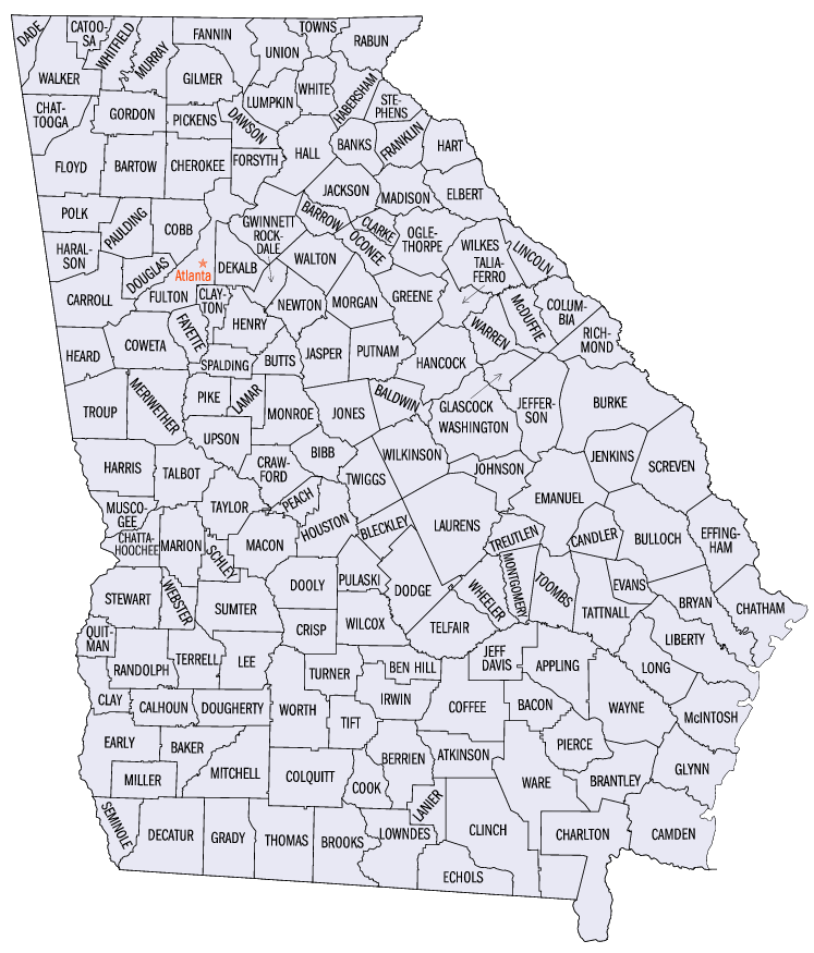
English: Map of counties in the U.S. state of Georgia |
| Source | |
| Author |
Licensing
[edit]
This image or file is a work of a United States Census Bureau employee, taken or made as part of that person's official duties. As a work of the U.S. federal government, the image is in the public domain.
|
 |
Original upload log
[edit]
The original description page was here. All following user names refer to en.wikipedia.
- 2006-05-14 18:30 Macinwwwv 817×937×8 (93618 bytes) {{PD-USGov-DOC-Census}}
File history
Click on a date/time to view the file as it appeared at that time.
| Date/Time | Thumbnail | Dimensions | User | Comment | |
|---|---|---|---|---|---|
| current | 16:19, 5 April 2008 | | 747 × 875 (90 KB) | Scott5114 (talk | contribs) | {{Information |Description={{en|''no original description''}} |Source=Transferred from [http://en.wikipedia.org en.wikipedia] |Date=2006-05-14 (original upload date) |Author=Original uploader was Macinwwwv at [http://en.wikipedia.or |
You cannot overwrite this file.
File usage on Commons
The following page uses this file:
File usage on other wikis
The following other wikis use this file: