File:First Balkan war - liberated territories 1913.png
Jump to navigation
Jump to search
Size of this preview: 606 × 599 pixels. Other resolutions: 243 × 240 pixels | 485 × 480 pixels | 776 × 768 pixels | 1,204 × 1,191 pixels.
Original file (1,204 × 1,191 pixels, file size: 666 KB, MIME type: image/png)
Captions
Captions
Add a one-line explanation of what this file represents
Summary
[edit]
| Description |
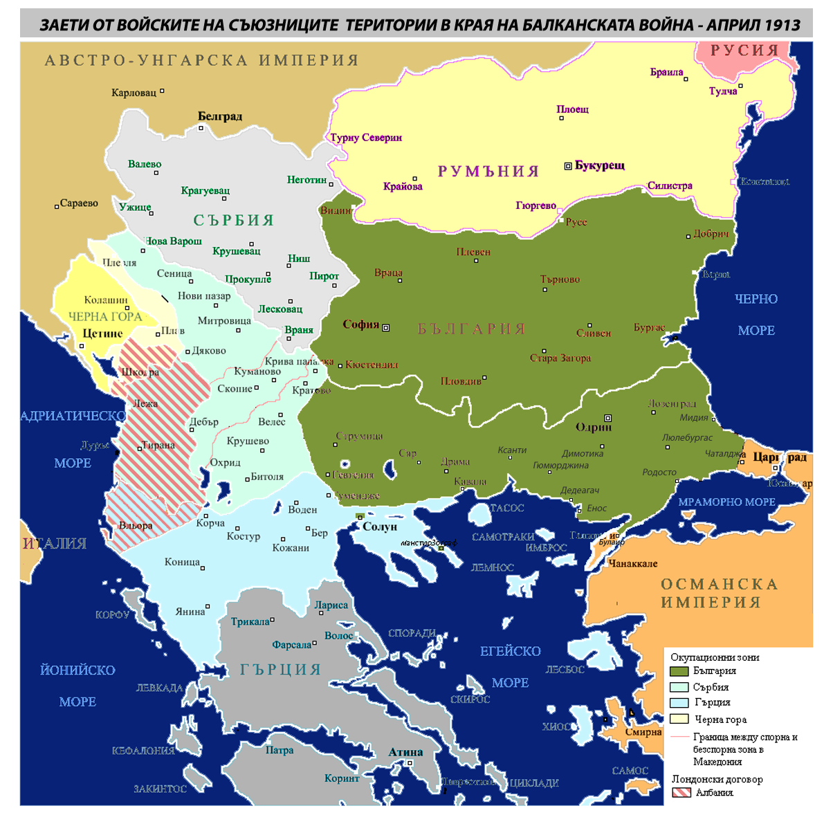
English: First Balkan war bulgarian army captured territories 1913, map Milomir Bogdanov |
| Date | |
| Source | Own work |
| Author | Mpb eu |
Licensing
[edit]
I, the copyright holder of this work, hereby publish it under the following license:
This file is licensed under the Creative Commons Attribution 3.0 Unported license.
- You are free:
- to share – to copy, distribute and transmit the work
- to remix – to adapt the work
- Under the following conditions:
- attribution – You must give appropriate credit, provide a link to the license, and indicate if changes were made. You may do so in any reasonable manner, but not in any way that suggests the licensor endorses you or your use.
File history
Click on a date/time to view the file as it appeared at that time.
| Date/Time | Thumbnail | Dimensions | User | Comment | |
|---|---|---|---|---|---|
| current | 13:33, 10 December 2013 | | 1,204 × 1,191 (666 KB) | AKSKubrat (talk | contribs) | details |
| 08:41, 9 December 2013 |  | 1,204 × 1,191 (665 KB) | Mpb eu (talk | contribs) | Reverted to version as of 08:38, 9 December 2013 | |
| 08:40, 9 December 2013 |  | 1,204 × 1,191 (665 KB) | Mpb eu (talk | contribs) | Reverted to version as of 08:38, 9 December 2013 | |
| 08:39, 9 December 2013 |  | 1,204 × 1,191 (665 KB) | Mpb eu (talk | contribs) | details | |
| 08:38, 9 December 2013 |  | 1,204 × 1,191 (665 KB) | Mpb eu (talk | contribs) | Reverted to version as of 08:37, 9 December 2013 | |
| 08:37, 9 December 2013 |  | 1,204 × 1,191 (665 KB) | Mpb eu (talk | contribs) | details | |
| 08:37, 9 December 2013 |  | 1,204 × 1,191 (665 KB) | Mpb eu (talk | contribs) | details | |
| 03:35, 19 September 2012 |  | 1,204 × 1,191 (667 KB) | Mpb eu (talk | contribs) | {{Information |Description ={{en|1=First Balkan war bulgarian army liberated territories 1913}} |Source ={{own}} |Author =Mpb eu |Date =16.09.2012 |Permission = |other_versions = }} [[Category:Aegean Ma... |
You cannot overwrite this file.
File usage on Commons
There are no pages that use this file.
File usage on other wikis
The following other wikis use this file:
- Usage on be.wikipedia.org
- Usage on bg.wikipedia.org
- Usage on en.wikipedia.org
- Usage on lv.wikipedia.org
- Usage on mk.wikipedia.org
- Usage on nl.wikipedia.org
- Usage on ru.wikipedia.org
- Usage on uz.wikipedia.org
Metadata
Categories:
- Macedonia (Greece)
- Maps of the First Balkan War
- Western Thrace
- Aegean Sea maps
- Maps of the history of Bulgaria in modern times
- Maps of Serbia during the Balkan Wars
- Maps of the history of Montenegro in modern times
- Maps of the history of Albania in modern times
- Maps of the history of Greece
- Maps of the Kingdom of Romania
- Maps of the history of Thrace
- Maps of the history of Macedonia
- Bogdanovi