File:Corpus Christi and Rio Grande Railway Company, (map showing the proposed railroad between Laredo and Corpus Christi and its connections with Mexico). LOC 98688644.tif
Jump to navigation
Jump to search

Size of this JPG preview of this TIF file: 800 × 486 pixels. Other resolutions: 320 × 194 pixels | 640 × 388 pixels | 1,024 × 622 pixels | 1,280 × 777 pixels | 2,560 × 1,554 pixels | 7,354 × 4,464 pixels.
Original file (7,354 × 4,464 pixels, file size: 93.92 MB, MIME type: image/tiff)
Captions
Captions
Add a one-line explanation of what this file represents
Summary[edit]
| Description |
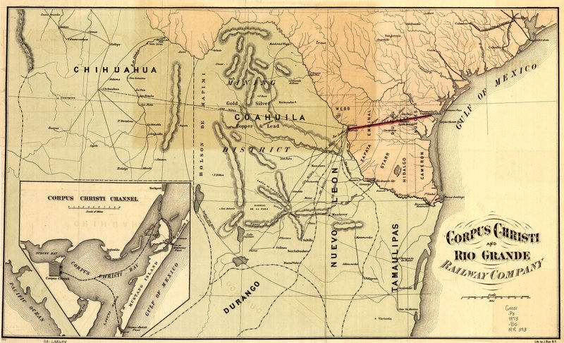
English: Outline map of southwest Texas and part of Mexico showing relief by hachures, drainage, and major cities and towns. |
||
| Title | Corpus Christi and Rio Grande Railway Company, [map showing the proposed railroad between Laredo and Corpus Christi and its connections with Mexico]. | ||
| Shelf ID | G4031.P3 1873 .B5 | ||
| Date | |||
| Source | https://www.loc.gov/item/98688644/ | ||
| Author | Bien, Julius; Corpus Christi And Rio Grande Railway | ||
| Permission (Reusing this file) |
|
||
| Other versions |
|
||
| Location | United States · American Border Region · Mexican · Mexican-American Border Region · Texas | ||
| Part of | American Memory · Catalog · Railroad Maps, 1828-1900 · Geography And Map Division · Transportation And Communication | ||
| Subject | Railroads · Mexican-American Border Region · United States · Maps · Corpus Christi And Rio Grande Railway · Texas |

._LOC_98688644.jpg)
Licensing[edit]
|
This is a faithful photographic reproduction of a two-dimensional, public domain work of art. The work of art itself is in the public domain for the following reason:
The official position taken by the Wikimedia Foundation is that "faithful reproductions of two-dimensional public domain works of art are public domain".
This photographic reproduction is therefore also considered to be in the public domain in the United States. In other jurisdictions, re-use of this content may be restricted; see Reuse of PD-Art photographs for details. | ||||
File history
Click on a date/time to view the file as it appeared at that time.
| Date/Time | Thumbnail | Dimensions | User | Comment | |
|---|---|---|---|---|---|
| current | 07:28, 11 June 2018 |  | 7,354 × 4,464 (93.92 MB) | Fæ (talk | contribs) | LOC Maps https://www.loc.gov/item/98688644/ #26697 |
You cannot overwrite this file.
File usage on Commons
The following page uses this file: