File:Buffalo soldiers map 1860-1900.jpg
Jump to navigation
Jump to search
Size of this preview: 800 × 549 pixels. Other resolutions: 320 × 219 pixels | 640 × 439 pixels | 1,024 × 702 pixels | 1,280 × 878 pixels | 2,750 × 1,886 pixels.
Original file (2,750 × 1,886 pixels, file size: 770 KB, MIME type: image/jpeg)
Captions
Captions
Add a one-line explanation of what this file represents
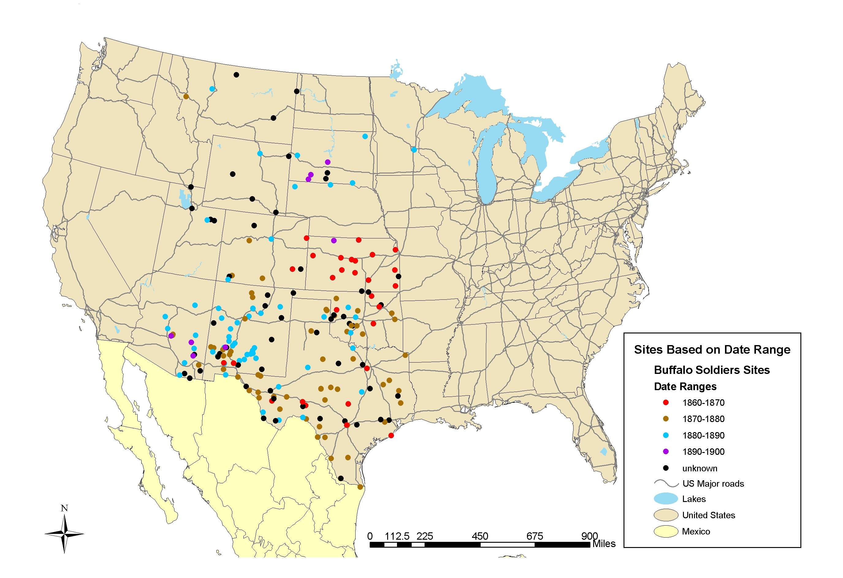
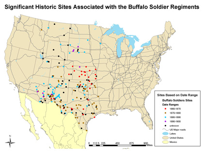
| Description | Map of significant historic sites associated with the Buffalo Soldier Regiments 1860-1900 | |||
| Source | National Park Service, CRGIS Buffalo Soldiers Mapping Project at http://www.nps.gov/history/hdp/exhibits/african/images/buff_sold1.jpg | |||
| Author | NPS map | |||
| Permission (Reusing this file) |
|

|
This map image could be re-created using vector graphics as an SVG file. This has several advantages; see Commons:Media for cleanup for more information. If an SVG form of this image is available, please upload it and afterwards replace this template with
{{vector version available|new image name}}.
It is recommended to name the SVG file “Buffalo soldiers map 1860-1900.svg”—then the template Vector version available (or Vva) does not need the new image name parameter. |


File history
Click on a date/time to view the file as it appeared at that time.
| Date/Time | Thumbnail | Dimensions | User | Comment | |
|---|---|---|---|---|---|
| current | 20:56, 17 January 2011 | | 2,750 × 1,886 (770 KB) | H-stt (talk | contribs) | {{Information |Description= Map of significant historic sites associated with the Buffalo Soldier Regiments 1860-1900 |Source= National Park Service, CRGIS Buffalo Soldiers Mapping Project at http://www.nps.gov/history/hdp/exhibits/african/images/buff_sol |
You cannot overwrite this file.
File usage on Commons
There are no pages that use this file.
File usage on other wikis
The following other wikis use this file:
- Usage on de.wikipedia.org
- Usage on en.wikipedia.org