File:Bridge under the railway line near Mosqueira. 15 October 2016.JPG
Jump to navigation
Jump to search

Size of this preview: 800 × 600 pixels. Other resolutions: 320 × 240 pixels | 640 × 480 pixels | 1,024 × 768 pixels | 1,280 × 960 pixels | 2,560 × 1,920 pixels | 4,608 × 3,456 pixels.
Original file (4,608 × 3,456 pixels, file size: 6.47 MB, MIME type: image/jpeg)
Captions
Captions
Add a one-line explanation of what this file represents
| Description |
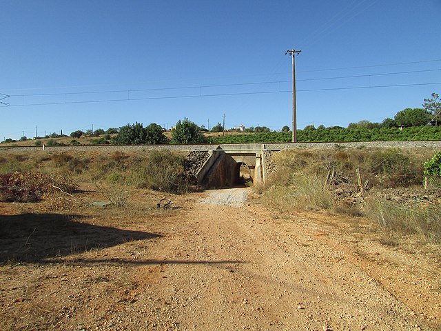
English: A railway bridge which carries the Algarve Line (Linha do Algarve) which runs east to west along the coast, The bridge is in the Neighbourhood of Mosqueira north of the city of Albufeira, Algarve, Portugal. |
|
| Date | ||
| Source | Own work | |
| Author |
This file is licensed under the Creative Commons Attribution-Share Alike 4.0 International license.
|
|
| Permission (Reusing this file) |
I, the copyright holder of this work, hereby publish it under the following license: This file is licensed under the Creative Commons Attribution 3.0 Unported license.
|

| Camera location | | View this and other nearby images on: OpenStreetMap |
|---|
| Object location | | View this and other nearby images on: OpenStreetMap |
|---|

|
The copyright holder of this file, Kolforn (Wikimedia), allows anyone to use it for any purpose, provided that the copyright holder is properly attributed. Redistribution, derivative work, commercial use, and all other use is permitted. |
Attribution:
Kolforn (Wikimedia)
|
File history
Click on a date/time to view the file as it appeared at that time.
| Date/Time | Thumbnail | Dimensions | User | Comment | |
|---|---|---|---|---|---|
| current | 07:50, 16 October 2016 | | 4,608 × 3,456 (6.47 MB) | Kolforn (talk | contribs) | {{Information |Description={{en|A railway bridge which carries the Algarve Line (Linha do Algarve) which runs east to west along the coast, The bridge is in the Neighbourhood of Mosqueira north of the city of {{w|Albufeira}}, Algarve, Portugal.}} |Sour... |
You cannot overwrite this file.
File usage on Commons
The following page uses this file: