File:Blick Richtung Görresburg bei Nettersheim.webm
Jump to navigation
Jump to search
Size of this JPG preview of this WEBM file: 800 × 450 pixels. Other resolutions: 320 × 180 pixels | 640 × 360 pixels | 1,024 × 576 pixels | 1,280 × 720 pixels | 1,920 × 1,080 pixels.
Original file (WebM audio/video file, VP8, length 24 s, 1,920 × 1,080 pixels, 6.53 Mbps overall, file size: 18.86 MB)
Captions
Captions
Add a one-line explanation of what this file represents
Summary[edit]
| Description |
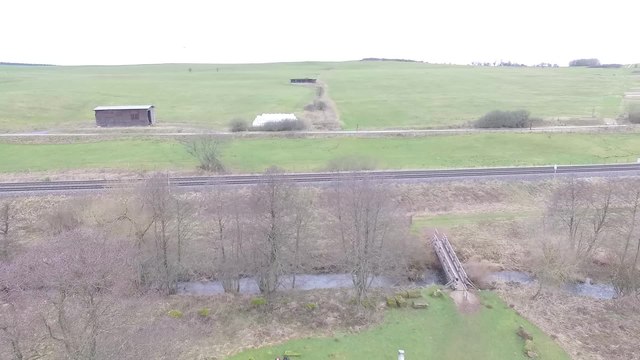
Deutsch: Drohnenvideo: Blick Richtung Görresburg bei Nettersheim. Das Video ist deutlich überbelichtet und dient auch nur zum Testen, ob Commons mit 60fps-Videos umgehen kann. |
|||||||||||||||||
| Date | ||||||||||||||||||
| Source | Own work | |||||||||||||||||
| Author |
|
|||||||||||||||||
| Attribution (required by the license) | © Raimond Spekking & Elke Wetzig / | |||||||||||||||||

| Camera location | | View this and other nearby images on: OpenStreetMap |
|---|
.JPG) |
This picture has been taken by members of the community project „Lokal K - Drohnenfotografie“. |
Licensing[edit]
I, the copyright holder of this work, hereby publish it under the following license:
This file is licensed under the Creative Commons Attribution-Share Alike 4.0 International license.
Attribution: © Raimond Spekking & Elke Wetzig / CC BY-SA 4.0 (via Wikimedia Commons)
- You are free:
- to share – to copy, distribute and transmit the work
- to remix – to adapt the work
- Under the following conditions:
- attribution – You must give appropriate credit, provide a link to the license, and indicate if changes were made. You may do so in any reasonable manner, but not in any way that suggests the licensor endorses you or your use.
- share alike – If you remix, transform, or build upon the material, you must distribute your contributions under the same or compatible license as the original.
File history
Click on a date/time to view the file as it appeared at that time.
| Date/Time | Thumbnail | Dimensions | User | Comment | |
|---|---|---|---|---|---|
| current | 19:57, 7 February 2016 | 24 s, 1,920 × 1,080 (18.86 MB) | Raymond (talk | contribs) | Videoconvert upload from toollabs |
You cannot overwrite this file.
File usage on Commons
There are no pages that use this file.
Transcode status
Update transcode statusFile usage on other wikis
The following other wikis use this file:
- Usage on de.wikipedia.org