File:Beverley Road Willerby toward the A164 (geograph 5756543).jpg
Jump to navigation
Jump to search
Size of this preview: 800 × 599 pixels. Other resolutions: 320 × 240 pixels | 640 × 480 pixels | 1,024 × 767 pixels | 1,280 × 959 pixels | 2,560 × 1,918 pixels | 3,844 × 2,880 pixels.
Original file (3,844 × 2,880 pixels, file size: 5.4 MB, MIME type: image/jpeg)
Captions
Captions
Add a one-line explanation of what this file represents
Summary[edit]
.jpg&action=edit§ion=1)
| Description |
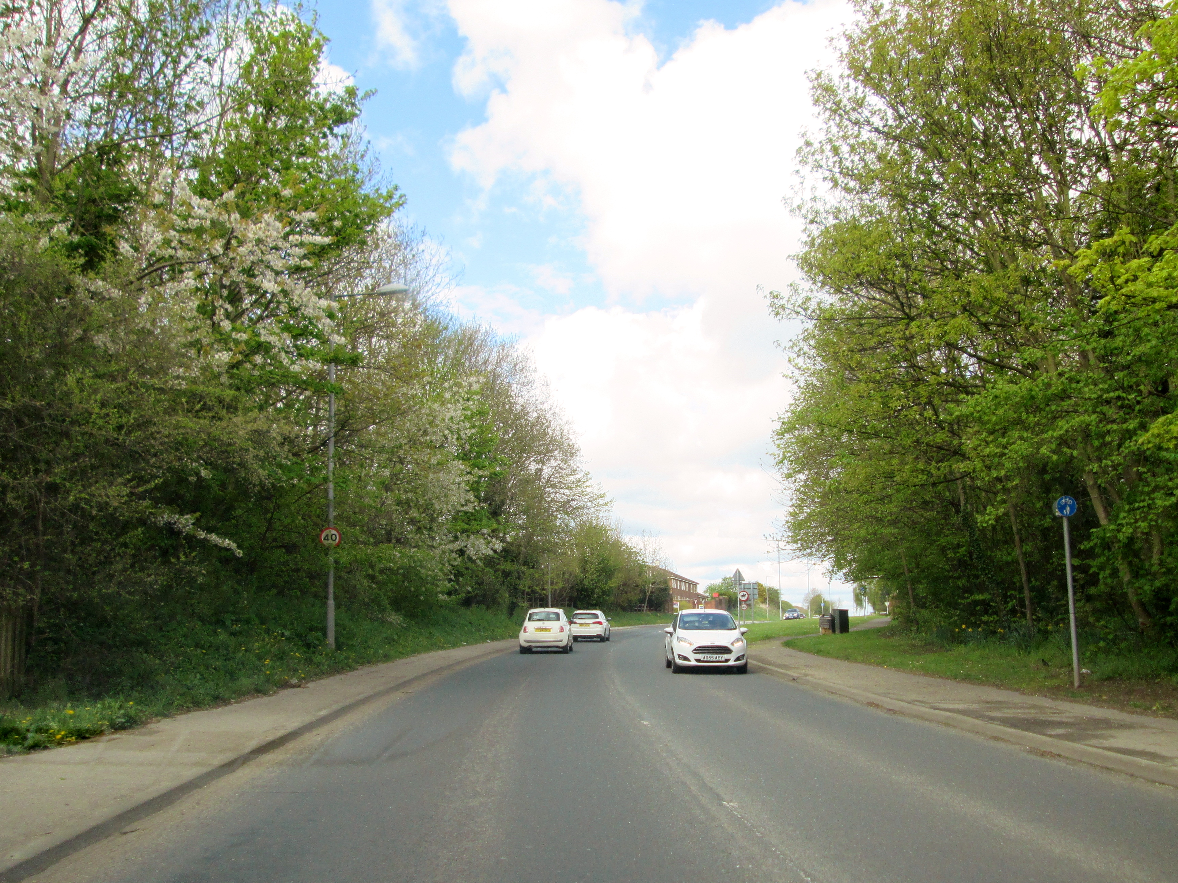
English: Beverley Road Willerby toward the A164, Willerby, East Riding of Yorkshire, England. This section of road to the next roundabout has housing on both sides. Now the last fields are being built on at this time. |
| Date | |
| Source | From geograph.org.uk |
| Author | Martin Dawes |
| Permission (Reusing this file) |
Creative Commons Attribution Share-alike license 2.0 |
| Attribution (required by the license) | Martin Dawes / Beverley Road Willerby toward the A164 / |
| Camera location | | View this and other nearby images on: OpenStreetMap |
|---|
.jpg¶ms=053.757289_N_-000.447705_E_globe:Earth_type:camera_source:geograph-osgb36(TA02443011)_heading:292.00&language=en)
| Object location | | View this and other nearby images on: OpenStreetMap |
|---|
.jpg¶ms=053.757480_N_-000.448460_E_globe:Earth_class:object_type:object_source:geograph-osgb36(TA02393013)_heading:292.00&language=en)
Licensing[edit]
.jpg&action=edit§ion=2)

|
This image was taken from the Geograph project collection. See this photograph's page on the Geograph website for the photographer's contact details. The copyright on this image is owned by Martin Dawes and is licensed for reuse under the Creative Commons Attribution-ShareAlike 2.0 license.
|
This file is licensed under the Creative Commons Attribution-Share Alike 2.0 Generic license.
Attribution: Martin Dawes
- You are free:
- to share – to copy, distribute and transmit the work
- to remix – to adapt the work
- Under the following conditions:
- attribution – You must give appropriate credit, provide a link to the license, and indicate if changes were made. You may do so in any reasonable manner, but not in any way that suggests the licensor endorses you or your use.
- share alike – If you remix, transform, or build upon the material, you must distribute your contributions under the same or compatible license as the original.
File history
Click on a date/time to view the file as it appeared at that time.
| Date/Time | Thumbnail | Dimensions | User | Comment | |
|---|---|---|---|---|---|
| current | 06:42, 9 December 2018 | | 3,844 × 2,880 (5.4 MB) | Geograph Update Bot (talk | contribs) | Higher-resolution version from Geograph. |
| 09:08, 7 December 2018 |  | 1,024 × 767 (252 KB) | Schlosser67 (talk | contribs) | Transferred from https://s3.geograph.org.uk/geophotos/05/75/65/5756543_7527ec16_1024x1024.jpg |
You cannot overwrite this file.
File usage on Commons
The following page uses this file:
- File:5756543 7527ec16 1024x1024.jpg (file redirect)
File usage on other wikis
The following other wikis use this file:
- Usage on en.wikipedia.org
Metadata
.jpg&oldid=822705241)
Categories:
- Files with coordinates missing SDC location of creation (53° N, -1°E)
- Roads in Willerby, East Riding of Yorkshire
- B1232 road (England)
- Trees in the East Riding of Yorkshire
- Houses in Willerby, East Riding of Yorkshire
- Road signs in the East Riding of Yorkshire
- 40 mph speed limit road signs in the East Riding of Yorkshire
- April 2018 in the East Riding of Yorkshire