File:Belgium administrative.svg
Jump to navigation
Jump to search

Size of this PNG preview of this SVG file: 738 × 600 pixels. Other resolutions: 296 × 240 pixels | 591 × 480 pixels | 945 × 768 pixels | 1,261 × 1,024 pixels | 2,521 × 2,048 pixels | 1,370 × 1,113 pixels.
Original file (SVG file, nominally 1,370 × 1,113 pixels, file size: 267 KB)
Captions
Captions
Add a one-line explanation of what this file represents
Summary[edit]
| Description |
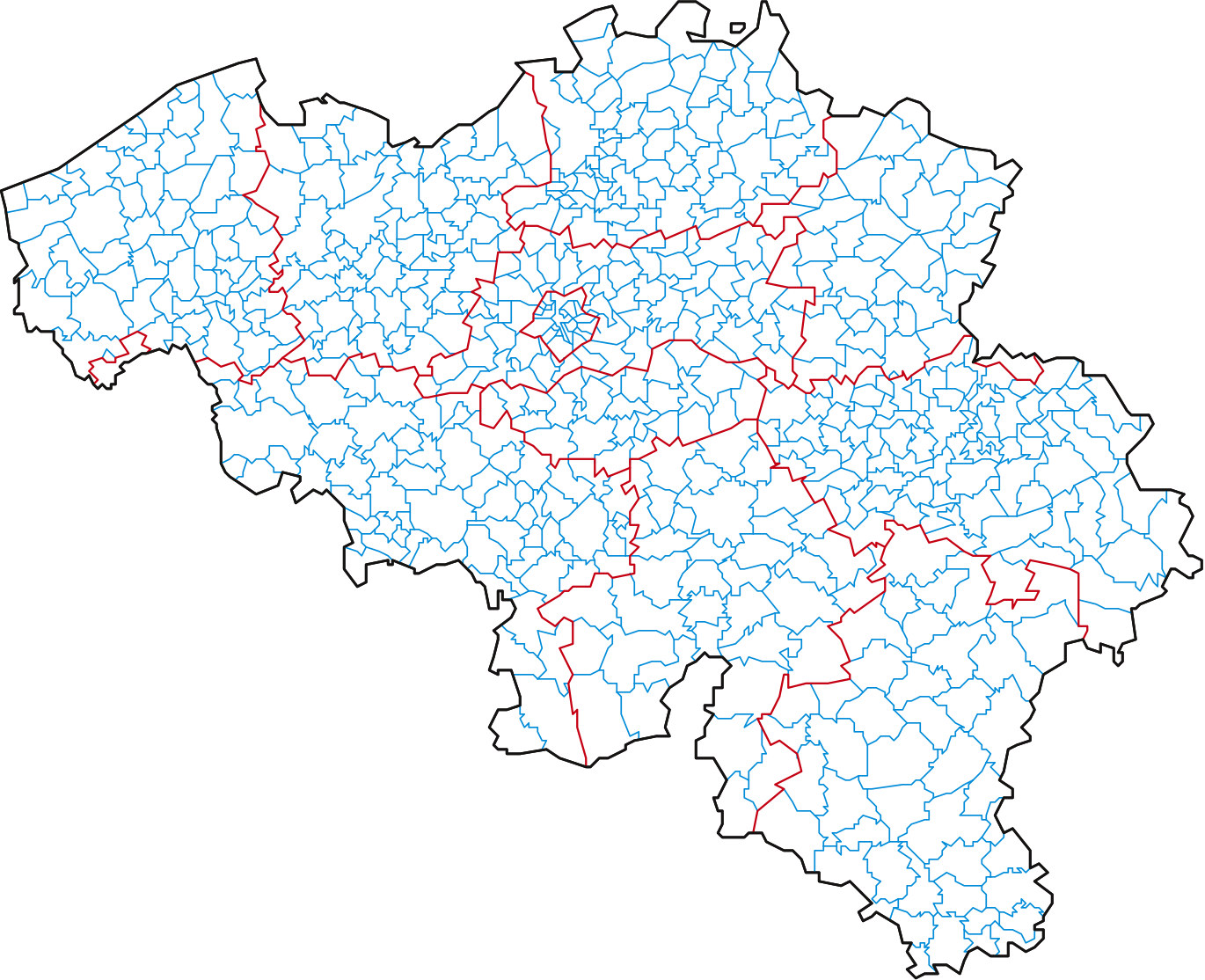
English: Belgium map with every administrative arrondissement
Français : Carte de Belgique avec les contours des communes |
| Date | |
| Source | Own work |
| Author | Min's |
Licensing[edit]
I, the copyright holder of this work, hereby publish it under the following license:
This file is licensed under the Creative Commons Attribution-Share Alike 3.0 Unported license.
- You are free:
- to share – to copy, distribute and transmit the work
- to remix – to adapt the work
- Under the following conditions:
- attribution – You must give appropriate credit, provide a link to the license, and indicate if changes were made. You may do so in any reasonable manner, but not in any way that suggests the licensor endorses you or your use.
- share alike – If you remix, transform, or build upon the material, you must distribute your contributions under the same or compatible license as the original.
File history
Click on a date/time to view the file as it appeared at that time.
| Date/Time | Thumbnail | Dimensions | User | Comment | |
|---|---|---|---|---|---|
| current | 15:53, 8 February 2019 | | 1,370 × 1,113 (267 KB) | NordNordWest (talk | contribs) | upd 2019 |
| 17:43, 15 February 2015 |  | 1,370 × 1,113 (390 KB) | Reptilien.19831209BE1 (talk | contribs) | correction Charleroi & Couillet (section) confusion ; multiple corrections Brussels ; lowered size with Vacuum Defs in Inkscape | |
| 07:37, 8 October 2014 |  | 1,370 × 1,113 (322 KB) | Reptilien.19831209BE1 (talk | contribs) | Corrections : Le Cocq (Flandre occidentale) ; Drogenbos, Linkebeek et Kraainem (Brabant flamand) ; Eupen (Liège) ; Berchem-Sainte-Agathe, Ganshoren, Jette, Koekelberg, Molenbeek-Saint-Jean, Ville de Bruxelles, Ixelles (Bruxelles-Capitale) ; Schelle et... | |
| 15:56, 14 September 2009 |  | 1,370 × 1,113 (264 KB) | Min's (talk | contribs) | {{Information |Description={{en|1=Belgium map with every administrative arrondissement}} {{fr|1=Carte de Belgique avec les contours des communes}} |Source=Own work |Author=Min's |Date=2009/09/14 |Permission= |other_versions= }} Category:Belgium |
You cannot overwrite this file.
File usage on Commons
The following 2 pages use this file:
File usage on other wikis
The following other wikis use this file:
- Usage on de.wikipedia.org
- Usage on es.wikipedia.org
- Usage on fr.wikipedia.org
- Usage on nds-nl.wikipedia.org
- Usage on simple.wikipedia.org
- Usage on www.wikidata.org