File:Bahnstrecke Shenmu–Huanghua.png
Jump to navigation
Jump to search

Size of this preview: 800 × 261 pixels. Other resolutions: 320 × 104 pixels | 640 × 208 pixels | 1,024 × 333 pixels | 1,280 × 417 pixels | 2,560 × 834 pixels | 6,489 × 2,113 pixels.
Original file (6,489 × 2,113 pixels, file size: 2.78 MB, MIME type: image/png)
Captions
Captions
Add a one-line explanation of what this file represents
Summary[edit]
| Description |
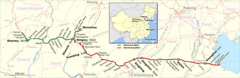
English: Map showing the Shenmu–Huanghua Railway
Deutsch: Karte der Bahnstrecke Shenmu–Huanghua |
|||||||||
| Date | ||||||||||
| Source |
Map was created using:
|
|||||||||
| Creator |
|
|||||||||
| Permission (Reusing this file) |
Map data (c) OpenStreetMap (and) contributors, CC-BY-SA | |||||||||
| Geotemporal data | ||||||||||
| Bounding box |
|
|||||||||
| Georeferencing | ||||||||||
Licensing[edit]
This file is licensed under the Creative Commons Attribution-Share Alike 3.0 Unported license.
- You are free:
- to share – to copy, distribute and transmit the work
- to remix – to adapt the work
- Under the following conditions:
- attribution – You must give appropriate credit, provide a link to the license, and indicate if changes were made. You may do so in any reasonable manner, but not in any way that suggests the licensor endorses you or your use.
- share alike – If you remix, transform, or build upon the material, you must distribute your contributions under the same or compatible license as the original.
| This work is licensed under the Open Database License (summary). |
File history
Click on a date/time to view the file as it appeared at that time.
| Date/Time | Thumbnail | Dimensions | User | Comment | |
|---|---|---|---|---|---|
| current | 19:30, 20 February 2017 | 6,489 × 2,113 (2.78 MB) | Pechristener (talk | contribs) | korr Beschriftungen der Provinzen | |
| 17:08, 12 January 2017 | 6,489 × 2,113 (2.75 MB) | Pechristener (talk | contribs) | Gelber Fluss, Wasserversorgungskanal und Kaiserkanal hinzu | ||
| 15:49, 10 January 2017 | 6,489 × 2,113 (2.61 MB) | Pechristener (talk | contribs) | == {{int:filedesc}} == {{Map |Description={{en|1=Map showing the Shenmu–Huanghua Railway}} {{de|1=Karte der {{w|Bahnstrecke Shenmu–Huanghua||de}}}} |Source = Map was created using: *[http://www.openstreetmap.org/ Open Street Map] *{{f|Chi... |
You cannot overwrite this file.
File usage on Commons
There are no pages that use this file.
File usage on other wikis
The following other wikis use this file:
- Usage on de.wikipedia.org
- Usage on www.wikidata.org