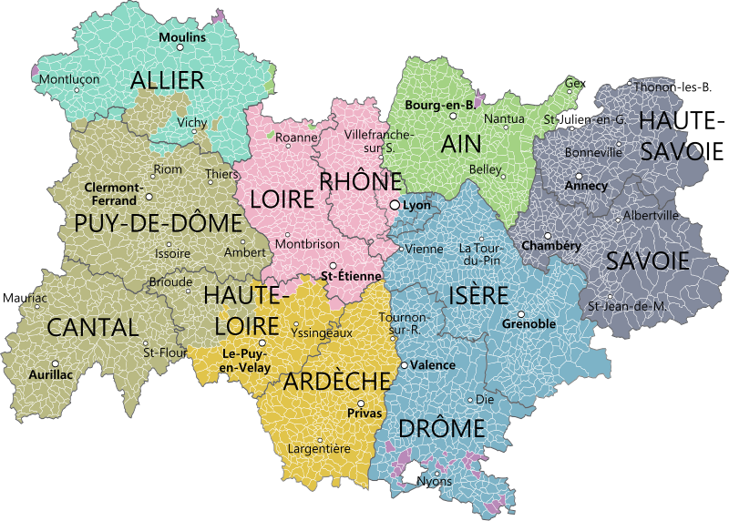
File:Auvergne-Rhône-Alpes et provinces.svg

Original file (SVG file, nominally 1,878 × 1,342 pixels, file size: 2.24 MB)
Captions
Captions
Summary
[edit]
| Description |
|
|||
| Date | between 2014 and 2015 | |||
| Source |
Gouvernemens généraux de la Marche, du Limousin, et de l'Auvergne et Gouvernements généraux du Berry, du Nivernois, et du Bourbonois, Robert de Vaugondy, 1753. ; Partie méridionale du gouvernement général de Bourgogne où se trouvent les bailliages d'Autun, et de Challon, le Mâconois, la Bressedivisés en leurs mandemens. Gouvernement general du Lyonois divisé en Lyonois, Forez et Beaujolois, Vaugondy. ; Carte et description générale de Dauphiné Avec les Confins des Païs et Provinces voisines. Le tout Racourcy et reduict, Jean de Beins, 1630 ; et pour les limites méridonales : Carte de Provence et des terres adjacentes, Guillaume Delisle ; Gouvernements généraux de Languedoc, de Foix et de Roussillon, Robert de Vaugondy. Derivative works of this file: Blank map of France, with communes and departments.svg by Poulpy |
|||
| Author | Oie blanche |
Licensing
[edit]
- You are free:
- to share – to copy, distribute and transmit the work
- to remix – to adapt the work
- Under the following conditions:
- attribution – You must give appropriate credit, provide a link to the license, and indicate if changes were made. You may do so in any reasonable manner, but not in any way that suggests the licensor endorses you or your use.
- share alike – If you remix, transform, or build upon the material, you must distribute your contributions under the same or compatible license as the original.
File history
Click on a date/time to view the file as it appeared at that time.
| Date/Time | Thumbnail | Dimensions | User | Comment | |
|---|---|---|---|---|---|
| current | 08:33, 28 February 2016 | | 1,878 × 1,342 (2.24 MB) | Chabe01 (talk | contribs) | Fusion des arrondissements de Lyon avec le bon fichier |
| 08:29, 28 February 2016 |  | 1,878 × 1,342 (2.19 MB) | Chabe01 (talk | contribs) | Fusion des arrondissements de Lyon | |
| 17:07, 26 February 2016 |  | 1,878 × 1,342 (2.24 MB) | Chabe01 (talk | contribs) | Modification de quelques détails | |
| 16:26, 26 February 2016 |  | 1,878 × 1,342 (2.24 MB) | Chabe01 (talk | contribs) | Fusions des communes qui l'ont été depuis 2013. Modification d'une erreur (Villefranche-sur-S. et non Villefranche-sur-R.) Autres améliorations (Modification des points et des noms des villes) | |
| 20:13, 3 September 2015 |  | 1,878 × 1,342 (2.19 MB) | Oie blanche (talk | contribs) | Cadrage. | |
| 20:12, 3 September 2015 |  | 1,000 × 900 (2.23 MB) | Oie blanche (talk | contribs) | User created page with UploadWizard |
You cannot overwrite this file.
File usage on Commons
The following 2 pages use this file:
File usage on other wikis
The following other wikis use this file:
- Usage on als.wikipedia.org
- Usage on fr.wikipedia.org
- Usage on it.wikipedia.org
- Usage on la.wikipedia.org
- Usage on nl.wikipedia.org
- Usage on ro.wikipedia.org
- Usage on sh.wikipedia.org
- Usage on zh.wikipedia.org