File:Angyalföld bp13.svg
Jump to navigation
Jump to search

Size of this PNG preview of this SVG file: 394 × 503 pixels. Other resolutions: 188 × 240 pixels | 376 × 480 pixels | 601 × 768 pixels | 802 × 1,024 pixels | 1,604 × 2,048 pixels.
Original file (SVG file, nominally 394 × 503 pixels, file size: 14 KB)
Captions
Captions
Add a one-line explanation of what this file represents
Summary
[edit]
| Description |
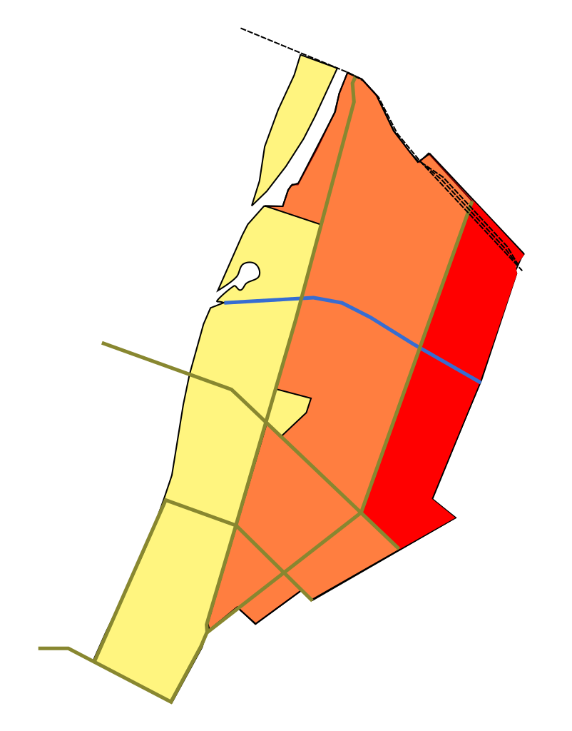
English: Map of Angyalföld
-at the end of the 19th century (dark red) -currently (light reddish) inside the 13th district of Budapest |
| Date | |
| Source | Own work |
| Author | Kmiki87 |
Licensing
[edit]
| I, the copyright holder of this work, release this work into the public domain. This applies worldwide. In some countries this may not be legally possible; if so: I grant anyone the right to use this work for any purpose, without any conditions, unless such conditions are required by law. |
File history
Click on a date/time to view the file as it appeared at that time.
| Date/Time | Thumbnail | Dimensions | User | Comment | |
|---|---|---|---|---|---|
| current | 21:43, 5 December 2021 | | 394 × 503 (14 KB) | Kmiki87 (talk | contribs) | Cut out the area of "Árpád Göncz city center", which whas created in the second half of 2016 |
| 16:04, 17 February 2016 |  | 394 × 503 (14 KB) | Kmiki87 (talk | contribs) | Remove Margaret Island as it is not part of district 13 anymore. | |
| 11:35, 12 August 2010 |  | 394 × 503 (14 KB) | Kmiki87 (talk | contribs) | {{Information |Description={{en|1=Map of Angyalföld -at the end of the 19th century (dark red) -currently (light reddish) inside the 13th district of Budapest}} |Source={{own}} |Author=Kmiki87 |Date=2010-08-12 |Permission= |other_version |
You cannot overwrite this file.
File usage on Commons
The following page uses this file:
File usage on other wikis
The following other wikis use this file:
- Usage on hu.wikipedia.org