File:Angmagssalik map.tiff
Jump to navigation
Jump to search

Size of this JPG preview of this TIF file: 798 × 600 pixels. Other resolutions: 320 × 240 pixels | 639 × 480 pixels | 1,022 × 768 pixels | 1,280 × 962 pixels | 2,560 × 1,924 pixels | 9,267 × 6,963 pixels.

Original file (9,267 × 6,963 pixels, file size: 184.84 MB, MIME type: image/tiff, 2 pages)
Captions
Captions
Add a one-line explanation of what this file represents
Summary[edit]
| Description |
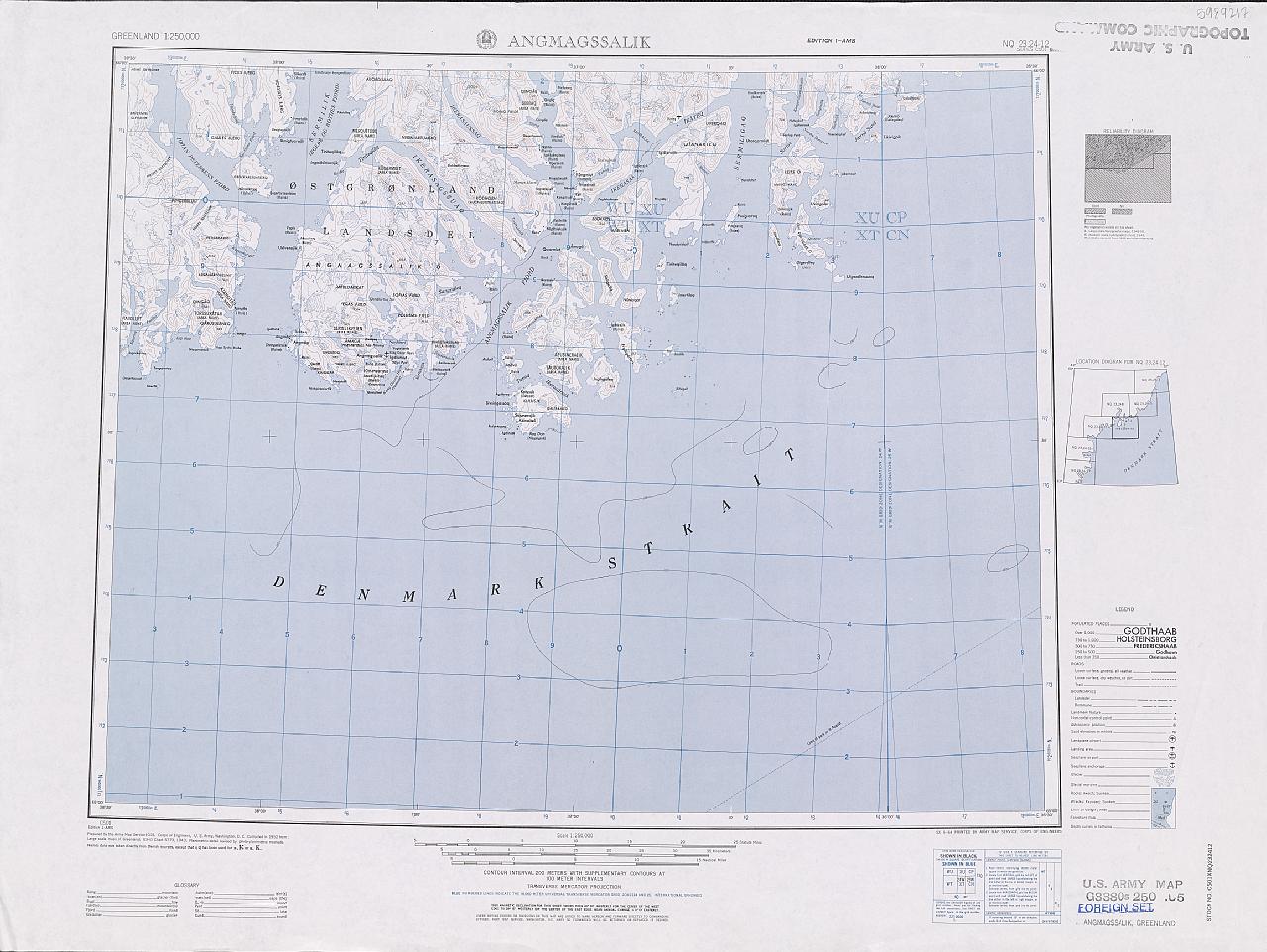
English: Map of Angmagssalik from AMS C501 Greenland 1:250,000 Topographic Series |
| Date | |
| Source | http://www.pgc.umn.edu/maps/arctic/id/GRL_REF-MT0503-002 |
| Author | U.S. Army Map Service / National Geospatial-Intelligence Agency (NGA) |
| Other versions | File:Angmagssalik.png, File:Angmagssalik map.jpg |
Licensing[edit]
This image or file is a work of a U.S. Army Corps of Engineers soldier or employee, taken or made as part of that person's official duties. As a work of the U.S. federal government, the image is in the public domain.
|
File history
Click on a date/time to view the file as it appeared at that time.
| Date/Time | Thumbnail | Dimensions | User | Comment | |
|---|---|---|---|---|---|
| current | 19:43, 27 September 2015 |  | 9,267 × 6,963, 2 pages (184.84 MB) | Nightflyer (talk | contribs) | User created page with UploadWizard |
You cannot overwrite this file.
File usage on Commons
The following page uses this file:
File usage on other wikis
The following other wikis use this file: