File:Altes Rathaus Marktplatz Palais Neubrandenburg.jpg

Original file (2,149 × 1,395 pixels, file size: 296 KB, MIME type: image/jpeg)
Captions
Captions
Summary[edit]
| Description |
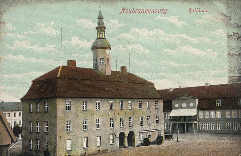
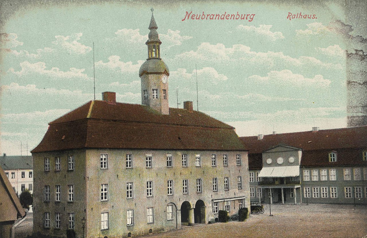
Deutsch: Das Alte Rathaus am Marktplatz von Neubrandenburg. Die Ursprünge sind schon im 14. Jahrhundert nachweisbar. In dieser Form wurde es nach mehreren Bränden anno 1747 fertiggestellt.
Während des Stadtbrandes im 2. Weltkrieg (1945) erlitt das Gebäude schwere Brandschäden, stand jedoch noch solide in seinen Grundmauern. Die Stadtplanung sah zunächst einen Wiederaufbau in den 50er Jahren vor, zusammen mit einer altstadtgerechten Bebauung des restlichen Marktplatzes. Leider wurden diese Pläne später verworfen. 1950 wurde die Rathausruine schließlich abgerissen. Übrig geblieben sind die Kellerfundamente, die seit 2006 bei archäologischen Ausgrabungen freigelegt wurden. Es ist geplant, die ursprüngliche Rathausfläche ab 2008/09 mit einem Springbrunnensystem zu überbauen - das Bodendenkmal Rathaus würde dadurch stark gefährdet.English: The old town hall at the market square of Neubrandenburg. It dates back to the 14th century. The shown version was completed in 1747, after it burned down several times.
During the city fire of 1945 (World War II) the building was heavily damaged, but still stood. It was planned to reconstruct it in the 1950s, but those plans sadly were rejected. In 1950, the town hall building was demolished. The only thing left: Some groundwork of the basement, that was excavated during archaeological works since 2006. It's planned to build a fountain system above the archaeological monument and seal it this way - which would undoubtly endanger it. |
| Date | circa 1900 |
| Source | Zenodot Verlagsgesellschaft mbH |
| Author | Fr. Carow |
| Permission (Reusing this file) |
Gemeinfrei / License free - public domain |
| Camera location | | View this and other nearby images on: OpenStreetMap |
|---|
Licensing[edit]
|
This work is in the public domain in its country of origin and other countries and areas where the copyright term is the author's life plus 70 years or fewer.
| |
| This file has been identified as being free of known restrictions under copyright law, including all related and neighboring rights. | |
File history
Click on a date/time to view the file as it appeared at that time.
| Date/Time | Thumbnail | Dimensions | User | Comment | |
|---|---|---|---|---|---|
| current | 01:18, 21 September 2008 | | 2,149 × 1,395 (296 KB) | Horst-schlaemma (talk | contribs) | {{Information |Description={{de|1=Das Alte Rathaus am Marktplatz von Neubrandenburg. Die Ursprünge sind schon im 14. Jahrhundert nachweisbar. In dieser Form wurde es nach mehreren Bränden anno 1747 fertiggestellt. Während des Stadtbrandes im 2. Weltkri |
You cannot overwrite this file.
File usage on Commons
The following 4 pages use this file:
_(Zeno_Ansichtskarten).jpg)
File usage on other wikis
The following other wikis use this file:
- Usage on de.wikipedia.org
- Usage on de.wikivoyage.org
- Usage on www.wikidata.org