File:-2022-01-25 Saint Mary’s parish church, Long Stratton (1).jpg
Jump to navigation
Jump to search

Size of this preview: 800 × 533 pixels. Other resolutions: 320 × 213 pixels | 640 × 427 pixels | 1,024 × 683 pixels | 1,280 × 853 pixels | 2,560 × 1,707 pixels | 6,435 × 4,290 pixels.
Original file (6,435 × 4,290 pixels, file size: 5.02 MB, MIME type: image/jpeg)
Captions
Captions
Add a one-line explanation of what this file represents
Summary[edit]
.jpg&action=edit§ion=1)
| Description |
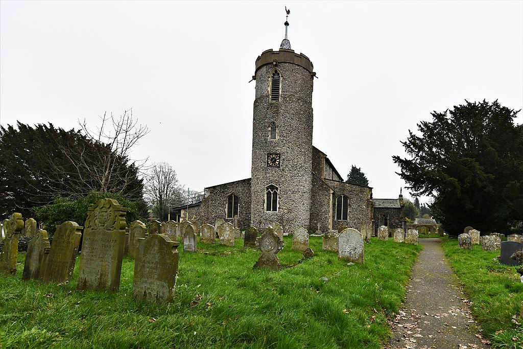
English: The west facing elevation of the parish church of Saint Mary’s is located in the parish of Long Stratton, Norfolk, England. |
| Date | Taken on 25 January 2022 |
| Source | From geograph.org.uk |
| Author | Michael Garlick |
| Attribution (required by the license) | Michael Garlick / Long Stratton, St. Mary's Church: Western aspect / |
| Camera location | | View this and other nearby images on: OpenStreetMap |
|---|
.jpg¶ms=052.483504_N_0001.232682_E_globe:Earth_type:camera__&language=en)
| Object location | | View this and other nearby images on: OpenStreetMap |
|---|
.jpg¶ms=052.483504_N_0001.232682_E_globe:Earth_class:object_type:object__&language=en)
Licensing[edit]
.jpg&action=edit§ion=2)

|
This image was taken from the Geograph project collection. See this photograph's page on the Geograph website for the photographer's contact details. The copyright on this image is owned by Michael Garlick and is licensed for reuse under the Creative Commons Attribution-ShareAlike 2.0 license.
|
This file is licensed under the Creative Commons Attribution-Share Alike 2.0 Generic license.
Attribution: Michael Garlick
- You are free:
- to share – to copy, distribute and transmit the work
- to remix – to adapt the work
- Under the following conditions:
- attribution – You must give appropriate credit, provide a link to the license, and indicate if changes were made. You may do so in any reasonable manner, but not in any way that suggests the licensor endorses you or your use.
- share alike – If you remix, transform, or build upon the material, you must distribute your contributions under the same or compatible license as the original.
File history
Click on a date/time to view the file as it appeared at that time.
| Date/Time | Thumbnail | Dimensions | User | Comment | |
|---|---|---|---|---|---|
| current | 13:35, 6 February 2022 | | 6,435 × 4,290 (5.02 MB) | Geograph Update Bot (talk | contribs) | Higher-resolution version from Geograph |
| 14:53, 31 January 2022 |  | 1,024 × 683 (225 KB) | Kolforn (talk | contribs) | {{Information |description={{en|1=The west facing elevation of the parish church of Saint Mary’s is located in the parish of {{w|Long Stratton}}, Norfolk, England.}} |Date={{Taken on|2022-01-25|location=United Kingdom}} |Source=From [https://www.geograph.org.uk/photo/7079935 geograph.org.uk] |author=[https://www.geograph.org.uk/profile/118660 Michael Garlick] |permission= |other_versions= |other fields={{Credit line |Author = Michael Garlick |Other = ''Long Stratton, St. Mary's Church: Wes... |
You cannot overwrite this file.
File usage on Commons
There are no pages that use this file.
.jpg&oldid=734551267)