File:-2021-06-05 Saint Mary’s Parish Church, Lowton Common, Greater Manchester.jpg
Jump to navigation
Jump to search
Size of this preview: 800 × 519 pixels. Other resolutions: 320 × 208 pixels | 640 × 415 pixels | 1,024 × 664 pixels | 1,280 × 831 pixels | 2,560 × 1,661 pixels | 5,779 × 3,750 pixels.
Original file (5,779 × 3,750 pixels, file size: 1.63 MB, MIME type: image/jpeg)
Captions
Captions
Add a one-line explanation of what this file represents
Summary
[edit]
| Description |
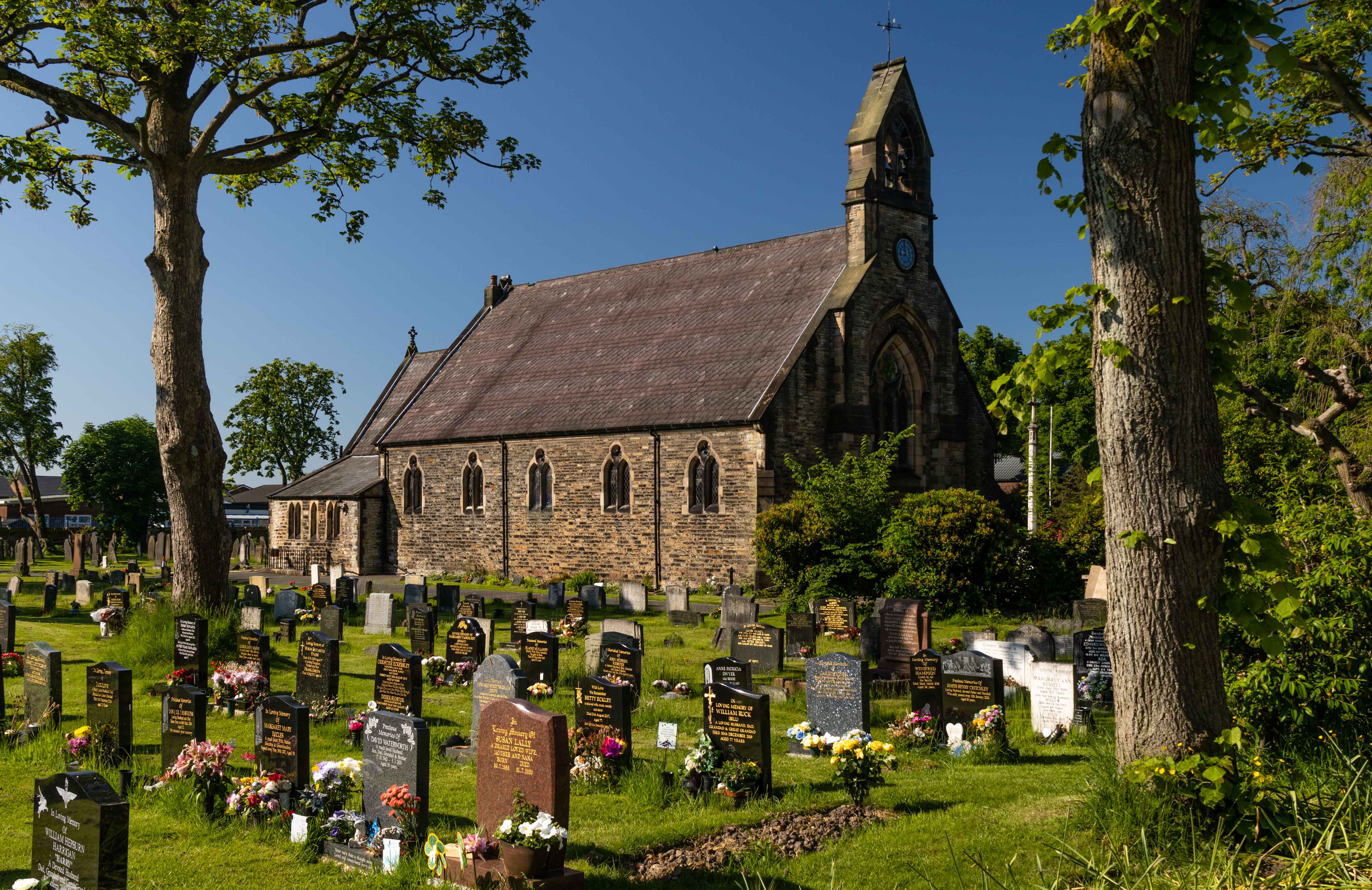
English: The east facing elevation of Saint Mary's parish church, Newton Road, Lowton Common, Greater Manchester. |
| Date | Taken on 5 June 2021 |
| Source | From geograph.org.uk |
| Author | Peter McDermott |
| Attribution (required by the license) | Peter McDermott / St Mary's Church / |
| Camera location | | View this and other nearby images on: OpenStreetMap |
|---|
| Object location | | View this and other nearby images on: OpenStreetMap |
|---|
Licensing
[edit]

|
This image was taken from the Geograph project collection. See this photograph's page on the Geograph website for the photographer's contact details. The copyright on this image is owned by Peter McDermott and is licensed for reuse under the Creative Commons Attribution-ShareAlike 2.0 license.
|
This file is licensed under the Creative Commons Attribution-Share Alike 2.0 Generic license.
Attribution: Peter McDermott
- You are free:
- to share – to copy, distribute and transmit the work
- to remix – to adapt the work
- Under the following conditions:
- attribution – You must give appropriate credit, provide a link to the license, and indicate if changes were made. You may do so in any reasonable manner, but not in any way that suggests the licensor endorses you or your use.
- share alike – If you remix, transform, or build upon the material, you must distribute your contributions under the same or compatible license as the original.
File history
Click on a date/time to view the file as it appeared at that time.
| Date/Time | Thumbnail | Dimensions | User | Comment | |
|---|---|---|---|---|---|
| current | 17:41, 4 July 2021 | | 5,779 × 3,750 (1.63 MB) | Bjh21 (talk | contribs) | Higher-resolution version from Geograph |
| 07:04, 6 June 2021 |  | 1,024 × 664 (270 KB) | Kolforn (talk | contribs) | {{Information |description= {{en|1=The east facing elevation of Saint Mary's parish church, Newton Road, Lowton Common, Greater Manchester.}} |Date={{Taken on|2021-06-05|location=United Kingdom}} |Source=From [https://www.geograph.org.uk/photo/6858157 geograph.org.uk] |author=[https://www.geograph.org.uk/profile/14194 Peter McDermott] |permission= |other_versions= |other fields={{Credit line |Author = Peter McDermott |Other = ''St Mary’s church'' |License = CC-BY-SA-2.0 }}}} {{Location de... |
You cannot overwrite this file.
File usage on Commons
There are no pages that use this file.
File usage on other wikis
The following other wikis use this file:
- Usage on en.wikipedia.org