Category:Tram maps of Washington, D.C.
Jump to navigation
Jump to search
Media in category "Tram maps of Washington, D.C."
The following 11 files are in this category, out of 11 total.
-
 1888 WDC Streetcar Map.JPG 1,042 × 816; 326 KB
-
 DC streetcar diagram.JPG 2,992 × 2,992; 405 KB
-

-
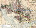
 Map of the city of Washington showing street railway lines. LOC 87695722.jpg 5,611 × 7,157; 4.8 MB
-
 Map of the city of Washington showing street railway lines. LOC 87695722.tif 5,611 × 7,157; 114.89 MB
-
 Map of Washington, D.C. LOC 87691478.jpg 9,741 × 8,201; 16.55 MB
-
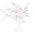
 Nova streetcar diagram.JPG 500 × 700; 44 KB
-
 Rand McNally standard map of Washington D.C. LOC 87691489.tif 8,064 × 6,161; 142.14 MB
-

-
 Vicinity of Washington DC by Griffith Hopkins, 1894.jpg 18,600 × 18,600; 46.48 MB
-
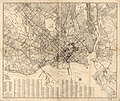
 Washington, D.C. LOC 87691460.jpg 8,019 × 6,131; 9.17 MB


