Category:Standardized SVG county maps of US states
This is a set category for a set of SVG state maps intended to be used for election results. They are made in QGIS and Mapshaper using the US Census's Tiger/Line "cb_500k" shapefiles, and therefore enjoy a high and consistent level of detail.
December 16, 2022: Maps have been updated to a new "v2" standard. Each state's projection has been changed to use the state-specific USGS State Plane system. SVG code has been optimized, with no extraneous style parameters and all counties named. County geometries have been simplified a little bit, reducing file sizes by up to 10x. Certain major inland water bodies have been clipped out of the maps.
If you're looking for a nationwide map, consider using File:United States county map with state borders, cb 500k.svg.
Subcategories
This category has the following 2 subcategories, out of 2 total.
H
Media in category "Standardized SVG county maps of US states"
The following 52 files are in this category, out of 52 total.
-
 Alabama county map, cb 500k.svg 810 × 810; 37 KB
-
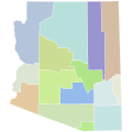 Arizona county map, cb 500k.svg 810 × 810; 15 KB
-
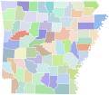 Arkansas county map, cb 500k.svg 810 × 709; 39 KB
-
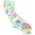 California county map, cb 500k.svg 810 × 810; 58 KB
-
 Colorado county map, cb 500k.svg 810 × 589; 39 KB
-
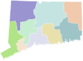
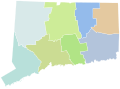 Connecticut county map, cb 500k.svg 810 × 595; 20 KB
-
 Connecticut planning region map, cb 500k.svg 810 × 595; 516 KB
-
 Delaware county map, cb 500k.svg 810 × 810; 5 KB
-
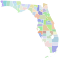 Florida county map, cb 500k.svg 810 × 805; 44 KB
-
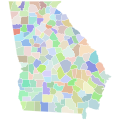 Georgia county map, cb 500k.svg 810 × 810; 78 KB
-
 Guam village map, CMSP.svg 460 × 600; 899 KB
-
 Idaho county map, cb 500k.svg 540 × 810; 33 KB
-
 Illinois county map, cb 500k.svg 455 × 810; 35 KB
-
 Indiana county map, cb 500k.svg 810 × 810; 27 KB
-
 Iowa county map, cb 500k.svg 810 × 532; 23 KB
-
 Kansas county map, cb 500k.svg 810 × 424; 26 KB
-
 Kentucky county map, cb 500k.svg 810 × 357; 79 KB
-
 Louisiana county map, cb 500k.svg 810 × 739; 56 KB
-
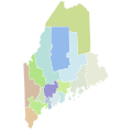 Maine county map, cb 500k.svg 810 × 810; 41 KB
-
 Maryland county map, cb 500k.svg 810 × 433; 98 KB
-
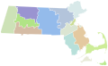 Massachusetts county map, cb 500k.svg 810 × 502; 25 KB
-
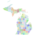 Michigan county map, cb 500k.svg 810 × 810; 36 KB
-
 Minnesota county map, cb 500k.svg 810 × 810; 39 KB
-
 Mississippi county map, cb 500k.svg 810 × 810; 37 KB
-
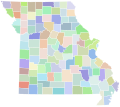 Missouri county map, cb 500k.svg 810 × 717; 40 KB
-
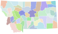 Montana county map, cb 500k.svg 810 × 473; 42 KB
-
 Nebraska county map, cb 500k.svg 810 × 379; 25 KB
-
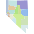 Nevada county map, cb 500k.svg 810 × 810; 13 KB
-
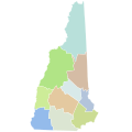 New Hampshire county map, cb 500k.svg 810 × 810; 12 KB
-
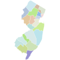 New Jersey county map, cb 500k.svg 810 × 810; 28 KB
-
 New Mexico county map, cb 500k.svg 810 × 810; 13 KB
-
 New York county map, cb 500k.svg 810 × 621; 62 KB
-
 North Carolina county map, cb 500k.svg 810 × 316; 72 KB
-
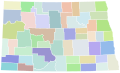 North Dakota county map, cb 500k.svg 810 × 488; 24 KB
-
 Ohio county map, cb 500k.svg 810 × 810; 32 KB
-
 Oklahoma county map, cb 500k.svg 810 × 404; 31 KB
-
 Oregon county map, cb 500k.svg 810 × 608; 30 KB
-
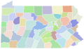 Pennsylvania county map, cb 500k.svg 810 × 471; 44 KB
-
 Puerto Rico municipality map, cb 500k.svg 744 × 262; 272 KB
-
 Rhode Island county map, cb 500k.svg 530 × 810; 11 KB
-
 SD Counties 1908.svg 800 × 494; 497 KB
-
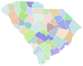 South Carolina county map, cb 500k.svg 810 × 648; 48 KB
-
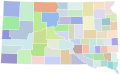 South Dakota county map, cb 500k.svg 810 × 506; 24 KB
-
 Tennessee county map, cb 500k.svg 810 × 206; 50 KB
-
 Texas county map, cb 500k.svg 810 × 769; 86 KB
-
 Utah county map, cb 500k.svg 810 × 810; 25 KB
-
 Vermont county map, cb 500k.svg 810 × 810; 15 KB
-
 Virginia county map, cb 500k.svg 810 × 358; 84 KB
-
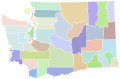 Washington county map, cb 500k.svg 810 × 535; 57 KB
-
 West Virginia county map, cb 500k.svg 810 × 719; 33 KB
-
 Wisconsin county map, cb 500k.svg 810 × 810; 37 KB
-
 Wyoming county map, cb 500k.svg 810 × 624; 12 KB


