Category:Sommersdorf (Mecklenburg-Vorpommern)
Jump to navigation
Jump to search
municipality of Germany | |||||
| Upload media | |||||
| Instance of |
| ||||
|---|---|---|---|---|---|
| Location | Mecklenburgische Seenplatte District, Mecklenburg-Western Pomerania, Germany | ||||
| Population |
| ||||
| Area |
| ||||
| Elevation above sea level |
| ||||
| official website | |||||
 | |||||
Subcategories
This category has the following 4 subcategories, out of 4 total.
Media in category "Sommersdorf (Mecklenburg-Vorpommern)"
The following 8 files are in this category, out of 8 total.
-
Bathing area in Sommersdorf 2021-09-09 01.jpg 8,368 × 5,584; 21.57 MB
-
Sommersdorf 2022-09-08 05.jpg 8,368 × 5,584; 22.61 MB
-
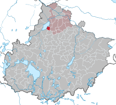
Sommersdorf in MBS.svg 896 × 804; 445 KB
-
Sommersdorf Wasserturm Gutsanlage.jpg 2,144 × 2,859; 2.53 MB
-
Sommersdorf-See-120804-041.JPG 4,288 × 2,848; 2.53 MB
-
Track at Kummerower See in Sommersdorf 2022-09-08 01.jpg 8,368 × 5,584; 18.38 MB
-
Track at Kummerower See in Sommersdorf 2022-09-08 02.jpg 8,368 × 5,584; 23.37 MB
-
Track in Sommersdorf 2021-09-09 03.jpg 8,368 × 5,584; 22.9 MB


