Category:Satellite pictures of United States Minor Outlying Islands
Jump to navigation
Jump to search
Subcategories
This category has the following 3 subcategories, out of 3 total.
Media in category "Satellite pictures of United States Minor Outlying Islands"
The following 12 files are in this category, out of 12 total.
-
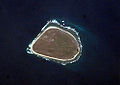 BakerIsland ISS010.jpg 1,000 × 708; 138 KB
-
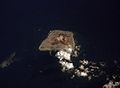 NASA-JarvisIsland.jpg 547 × 400; 13 KB
-
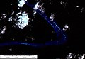 Kingman Reef - Landsat Image N-03-05 2000 Detail East (1-37,500).jpg 1,276 × 885; 72 KB
-
 Kingman Reef.png 631 × 634; 431 KB
-
 Midway Atoll.png 631 × 634; 578 KB
-
 Midway island satellite map.jpg 346 × 350; 94 KB
-
 Palmyra Atoll 2010-03-18, EO-1 ALI bands 5-4-3-1, 15m resolution.png 1,974 × 1,172; 4.21 MB
-
 Palmyra Atoll.png 631 × 634; 402 KB
-
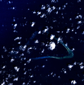
 Wake Atoll ISS001.jpg 1,000 × 718; 195 KB
-
 Wake Island NASA photo map.jpg 1,600 × 1,200; 1.75 MB
-
 Wake Island satellite map.jpg 380 × 400; 19 KB
-
 Wake Island.png 631 × 634; 307 KB


.jpg)


