Category:SVG maps of Novaya Zemlya
Jump to navigation
Jump to search
Subcategories
This category has the following 3 subcategories, out of 3 total.
M
- SVG maps of Matochkin Strait (4 F)
S
- SVG maps of Severny Island (4 F)
Y
- SVG maps of Yuzhny Island (4 F)
Media in category "SVG maps of Novaya Zemlya"
The following 19 files are in this category, out of 19 total.
-
 Bely Island-HE.svg 451 × 635; 418 KB
-
 Kara Sea map hr.svg 1,004 × 915; 296 KB
-
 Mezhdusharskiy Island ru.svg 448 × 631; 11 KB
-
 Mezhdusharskiy Island.svg 451 × 635; 388 KB
-
 Novaya Zemlya (cs).svg 448 × 631; 10 KB
-
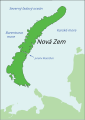 Novaya Zemlya (sk).svg 448 × 631; 10 KB
-
 Novaya Zemlya ka.svg 448 × 631; 10 KB
-
 Novaya Zemlya mk.svg 448 × 631; 74 KB
-
 Novaya Zemlya sr.svg 448 × 631; 10 KB
-
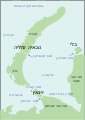
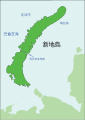 Novaya Zemlya-cht.svg 448 × 631; 11 KB
-
 Novaya Zemlya-de.svg 448 × 631; 10 KB
-
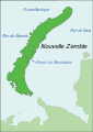 Novaya Zemlya-fr.svg 448 × 631; 10 KB
-
 Novaya Zemlya.hu.svg 448 × 631; 17 KB
-
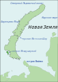
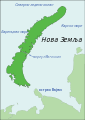
 Novaya Zemlya.ru.svg 448 × 631; 13 KB
-
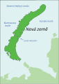
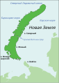
 Novaya Zemlya.svg 448 × 631; 12 KB
-
 Ocean dumping of radioactive waste at Novaya Zemlya-de.svg 707 × 995; 239 KB
-
 Ocean dumping of radioactive waste at Novaya Zemlya-fr.svg 448 × 631; 24 KB
-
 Vaygach island.ru.svg 448 × 631; 11 KB
-
 Керла Латта.svg 448 × 631; 87 KB


.svg)
.svg)


