Category:Political maps of Carroll County, Ohio as of the 2000 United States Census
Jump to navigation
Jump to search
Media in category "Political maps of Carroll County, Ohio as of the 2000 United States Census"
The following 24 files are in this category, out of 24 total.
-
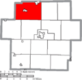
 Map of Carroll County Ohio Highlighting Augusta Township.png 501 × 488; 18 KB
-
 Map of Carroll County Ohio Highlighting Brown Township.png 501 × 488; 18 KB
-
 Map of Carroll County Ohio Highlighting Carrollton Village.png 501 × 488; 18 KB
-
 Map of Carroll County Ohio Highlighting Center Township.png 501 × 488; 18 KB
-
 Map of Carroll County Ohio Highlighting Dellroy Village.png 501 × 488; 18 KB
-
 Map of Carroll County Ohio Highlighting East Township.png 501 × 488; 18 KB
-
 Map of Carroll County Ohio Highlighting Fox Township.png 501 × 488; 18 KB
-
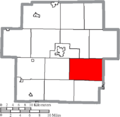
 Map of Carroll County Ohio Highlighting Harrison Township.png 501 × 488; 18 KB
-
 Map of Carroll County Ohio Highlighting Lee Township.png 501 × 488; 18 KB
-
 Map of Carroll County Ohio Highlighting Leesville Village.png 501 × 488; 18 KB
-
 Map of Carroll County Ohio Highlighting Loudon Township.png 501 × 488; 18 KB
-
 Map of Carroll County Ohio Highlighting Magnolia Village.png 501 × 488; 18 KB
-
 Map of Carroll County Ohio Highlighting Malvern Village.png 501 × 488; 18 KB
-
 Map of Carroll County Ohio Highlighting Minerva Village.png 501 × 488; 18 KB
-
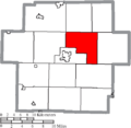
 Map of Carroll County Ohio Highlighting Monroe Township.png 501 × 488; 18 KB
-
 Map of Carroll County Ohio Highlighting Orange Township.png 501 × 488; 18 KB
-
 Map of Carroll County Ohio Highlighting Perry Township.png 501 × 488; 18 KB
-
 Map of Carroll County Ohio Highlighting Rose Township.png 501 × 488; 18 KB
-
 Map of Carroll County Ohio Highlighting Sherrodsville Village.png 501 × 488; 18 KB
-
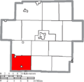
 Map of Carroll County Ohio Highlighting Union Township.png 501 × 488; 18 KB
-
 Map of Carroll County Ohio Highlighting Washington Township.png 501 × 488; 18 KB
-
 Map of Carroll County Ohio With Municipal and Township Labels.PNG 501 × 488; 33 KB
-
 Map of Carroll County, Ohio No Text, Municipalities Distinct.png 501 × 488; 18 KB
-
 Map of Carroll County, Ohio No Text.png 501 × 488; 18 KB


