Category:Political maps of Athens County, Ohio as of the 2000 United States Census
Jump to navigation
Jump to search
Media in category "Political maps of Athens County, Ohio as of the 2000 United States Census"
The following 27 files are in this category, out of 27 total.
-
 Map of Athens County Ohio Highlighting Albany Village.png 649 × 572; 25 KB
-
 Map of Athens County Ohio Highlighting Alexander Township.png 649 × 572; 25 KB
-
 Map of Athens County Ohio Highlighting Ames Township.png 649 × 572; 25 KB
-
 Map of Athens County Ohio Highlighting Amesville Village.png 649 × 572; 25 KB
-
 Map of Athens County Ohio Highlighting Athens City.png 649 × 572; 25 KB
-
 Map of Athens County Ohio Highlighting Athens Township.png 649 × 572; 25 KB
-
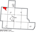
 Map of Athens County Ohio Highlighting Bern Township.png 649 × 572; 25 KB
-
 Map of Athens County Ohio Highlighting Buchtel Village.png 649 × 572; 25 KB
-
 Map of Athens County Ohio Highlighting Canaan Township.png 649 × 572; 25 KB
-
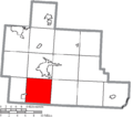
 Map of Athens County Ohio Highlighting Carthage Township.png 649 × 572; 25 KB
-
 Map of Athens County Ohio Highlighting Chauncey Village.png 649 × 572; 25 KB
-
 Map of Athens County Ohio Highlighting Coolville Village.png 649 × 572; 25 KB
-
 Map of Athens County Ohio Highlighting Dover Township.png 649 × 572; 25 KB
-
 Map of Athens County Ohio Highlighting Glouster Village.png 649 × 572; 25 KB
-
 Map of Athens County Ohio Highlighting Jacksonville Village.png 649 × 572; 25 KB
-
 Map of Athens County Ohio Highlighting Lee Township.png 649 × 572; 25 KB
-
 Map of Athens County Ohio Highlighting Lodi Township.png 649 × 572; 25 KB
-
 Map of Athens County Ohio Highlighting Nelsonville City.png 649 × 572; 25 KB
-
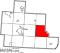 Map of Athens County Ohio Highlighting Rome Township.png 649 × 572; 25 KB
-
 Map of Athens County Ohio Highlighting Trimble Township.png 649 × 572; 25 KB
-
 Map of Athens County Ohio Highlighting Trimble Village.png 649 × 572; 25 KB
-
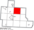
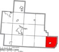 Map of Athens County Ohio Highlighting Troy Township.png 649 × 572; 25 KB
-
 Map of Athens County Ohio Highlighting Waterloo Township.png 649 × 572; 25 KB
-
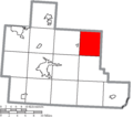
 Map of Athens County Ohio Highlighting York Township.png 649 × 572; 25 KB
-
 Map of Athens County Ohio With Municipal and Township Labels.PNG 649 × 572; 44 KB
-
 Map of Athens County, Ohio No Text, Municipalities Distinct.png 649 × 572; 25 KB
-
 Map of Athens County, Ohio No Text.png 649 × 572; 24 KB


