Category:Oxford in the 17th century
Jump to navigation
Jump to search
Subcategories
This category has the following 12 subcategories, out of 12 total.
Media in category "Oxford in the 17th century"
The following 18 files are in this category, out of 18 total.
-
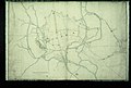
 Oxonium (...) ; Vindesorium (...) - btv1b53225366d (1 of 3).jpg 4,485 × 6,434; 4.67 MB
-

-
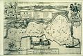 Bodleian Libraries, A Map of PortMeadow , 169499.jpg 1,000 × 675; 176 KB
-
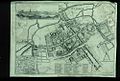
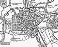
 Bodleian Libraries, Loggan's map of Oxford after the Civil War.jpg 1,000 × 675; 173 KB
-
 Bodleian Libraries, North east Oxford, with River Cherwell.jpg 1,000 × 675; 106 KB
-
-
-
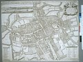
 Bodleian Libraries, Oxford city plan.jpg 1,000 × 675; 172 KB
-

-
 Bodleian Libraries, Oxforde.jpg 1,000 × 675; 158 KB
-
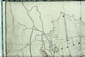
 Bodleian Libraries, Plan of Oxford City fortifications, 13 November 1644.jpg 1,000 × 675; 96 KB
-
 Bodleian Libraries, South east Oxford, with River Thames and Eastgate.jpg 1,000 × 675; 111 KB
-
 Bodleian Libraries, South west Oxford, with River Thames and Christ Church.jpg 1,000 × 675; 111 KB
-
-
 John speed 1605 map oxford gropecunt.jpg 827 × 659; 236 KB
-
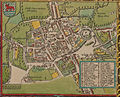 John Speed's map of Oxford, 1605..jpg 2,497 × 2,018; 1.5 MB
-
 Osney cathedral.jpg 646 × 799; 267 KB
-
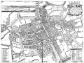 Oxford Map 1675.gif 1,000 × 760; 170 KB
_;_Vindesorium_(...)_-_btv1b53225366d_(1_of_3).jpg)


ties_forces,_an_1644.jpg)


