Category:OpenStreetMap maps of the Aegean Islands
Jump to navigation
Jump to search
Media in category "OpenStreetMap maps of the Aegean Islands"
The following 15 files are in this category, out of 15 total.
-
 Adelfoi islets.JPG 671 × 455; 20 KB
-
 Chios2022OSM.png 3,048 × 3,632; 2.79 MB
-
 Kinaros.jpg 478 × 467; 17 KB
-
 Lesbos2022OSM.png 5,122 × 4,366; 4.27 MB
-
 LimnosMap.svg 1,115 × 845; 212 KB
-
 OSM map of Chalki+Alimia.png 1,442 × 854; 247 KB
-
 OSM2023-Ortelius1584.png 1,972 × 844; 2.41 MB
-
 Polyaigos 200m 300m marked.JPG 1,263 × 1,143; 165 KB
-
 Polyaigos.png 2,170 × 1,832; 387 KB
-
 RhodesAndKos2022OSM.png 4,403 × 4,270; 8.87 MB
-
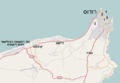 RhodesUmgebungKarte.png 667 × 459; 89 KB
-
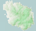
 Samos2022OSM.png 7,000 × 3,138; 17.89 MB
-
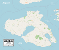
 Santorini2022OSM.png 4,618 × 4,861; 4.4 MB
-
 Symi map.svg 1,571 × 1,160; 217 KB
-
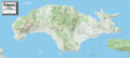
 Thasos2022OSM.png 4,129 × 4,876; 14.91 MB


