Category:Old maps of territories in the Upper Rhenish Circle
Jump to navigation
Jump to search
Deutsch: Alte Karte des Oberrheinischer Reichskreis
Français : Anciennes cartes du Cercle du Haut-Rhin
Use the appropriate category for maps showing all or a large part of territories in the Upper Rhenish Circle. See subcategories for smaller areas:
| If the map shows | Category to use |
|---|---|
| territories in the Upper Rhenish Circle on a recently created map | Category:Maps of territories in the Upper Rhenish Circle or its subcategories |
| territories in the Upper Rhenish Circle on a map created more than 70 years ago | Category:Old maps of territories in the Upper Rhenish Circle or its subcategories |
| the history of territories in the Upper Rhenish Circle on a recently created map | Category:Maps of the history of territories in the Upper Rhenish Circle or its subcategories |
| the history of territories in the Upper Rhenish Circle on a map created more than 70 years ago | Category:Old maps of the history of territories in the Upper Rhenish Circle or its subcategories |
Subcategories
This category has only the following subcategory.
Media in category "Old maps of territories in the Upper Rhenish Circle"
The following 16 files are in this category, out of 16 total.
-
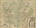 Blaeu 1645 - Territorium Abbatæ Heresfeldensis.jpg 2,995 × 2,321; 2.33 MB
-

-
-

-
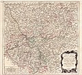
 Reilly 237-color.jpg 1,704 × 1,500; 438 KB
-
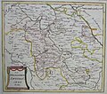
 Reilly 237.jpg 1,122 × 927; 547 KB
-
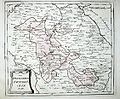
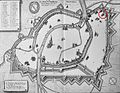
 Reilly 262.jpg 1,186 × 922; 542 KB
-
 Braun Strasbourg HAAB.jpg 1,069 × 845; 779 KB
-
 Braun Strasbourg UBHD.jpg 1,826 × 1,495; 2 MB
-
 Carte de Strasbourg XIII 01.jpg 5,608 × 4,418; 5.15 MB
-
 Carte de Strasbourg XIII 02.jpg 1,761 × 7,471; 1.71 MB
-
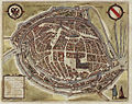
 CivitatesOrbisTerrarum Strasbourg (cropped).jpg 4,924 × 3,931; 4.13 MB
-
 CivitatesOrbisTerrarum Strasbourg.jpg 6,764 × 4,862; 5.06 MB
-
 Eglise Sainte-Aurélie de Strasbourg-Merian-1643.jpg 1,384 × 1,078; 362 KB
-
 Straßburg als teusche freie Reichstadt.jpg 4,872 × 3,000; 3.9 MB
-
 Straßburg II.jpg 2,071 × 3,185; 1.35 MB

.jpg)


.jpg)


