Category:Maps of volcanoes in Chile
Jump to navigation
Jump to search
Subcategories
This category has the following 10 subcategories, out of 10 total.
*
L
- Maps of Llaima volcano (2 F)
M
- Maps of Maipo (1 F)
- Maps of Villarrica Volcano (3 F)
O
- Maps of Ojos del Salado (2 F)
P
T
- Maps of El Tatio (2 F)
Media in category "Maps of volcanoes in Chile"
The following 37 files are in this category, out of 37 total.
-
 17-arica-MP0006595.pdf 4,418 × 3,162; 2.76 MB
-
 21-tocopilla-calama-MP0001053.pdf 4,431 × 3,172; 2.43 MB
-
 22.30-san-pedro-de-atacama-MP0001050-cropped.pdf 1,808 × 2,972; 4.89 MB
-
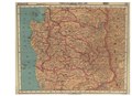
 35-Concepción - Chillán - Talca - Linares-MP0001336.pdf 4,235 × 3,177; 2.81 MB
-
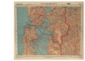
 36.50-temuco-los-angeles-angol--MP0001337.pdf 3,972 × 3,177; 5.59 MB
-
 39-valdivia-osorno-B-MP0001338.pdf 3,981 × 3,089; 2.48 MB
-
 41-pto-montt-ancud-castro-MP0001339.pdf 3,737 × 3,125; 2.57 MB
-
 Andes 70.98343W 35.78028S.jpg 1,280 × 958; 315 KB
-
 Arica-y-parinacota.svg 1,002 × 1,099; 2.96 MB
-
 Carta de los Desiertos de Tarapacá y de Atacama 1879.jpg 714 × 1,024; 165 KB
-
 Chile Atacama.jpg 1,276 × 1,258; 607 KB
-
 Chile.cuencas.hidrograficas.region.del.biobio.svg 800 × 715; 1.34 MB
-
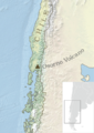
 Chile.puyehue.svg 749 × 610; 1.27 MB
-
 Easter Island map by La Perouse 1797.jpg 8,037 × 5,888; 8.53 MB
-
 Easter Island map-en.svg 1,750 × 1,245; 878 KB
-
 El Laco volcano geologic map.jpg 573 × 548; 76 KB
-
 Erupcionesdelsur.jpg 322 × 354; 15 KB
-
 Laguna del Maule volcano geological map.png 2,067 × 2,481; 1,015 KB
-
 Llaima y alrededores.jpg 1,400 × 620; 709 KB
-
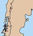
 Map chile volcanoes.gif 308 × 668; 9 KB
-
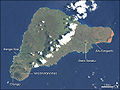
 Map of Easter Island.jpg 1,039 × 1,285; 153 KB
-
 Mapa Cordón del Caulle Area de Dispersion 23d.png 1,217 × 661; 397 KB
-
 Osorno.png 500 × 704; 197 KB
-
 Osterinsel Uebersicht.jpg 540 × 405; 119 KB
-
 Plan de l'Isle de Paque (1797).jpg 4,002 × 5,698; 16.01 MB
-
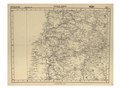
 Si-19-2-cerro aconcagua-argentina-chile.pdf 4,387 × 3,337; 8.87 MB
-
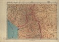
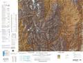
 Txu-oclc-224300691-se19-6.jpg 5,164 × 3,929; 10.27 MB
-
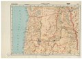
 Txu-oclc-224571173-si19-02.jpg 5,270 × 3,904; 7.17 MB
-
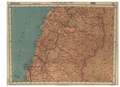
 Txu-oclc-224571178-sf19-07.jpg 5,228 × 3,969; 9.61 MB
-
 Txu-oclc-224571178-sf19-15.jpg 5,194 × 4,057; 8.16 MB
-
 Txu-oclc-224571178-sg19-06.jpg 5,212 × 3,963; 8.29 MB
-
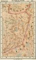
 Txu-oclc-224571178-sh19-01 (cropped).jpg 1,573 × 1,984; 1.9 MB
-
 Txu-oclc-224571178-sh19-01.jpg 3,961 × 5,200; 8 MB
-
 Volcan llaima mapa ene07.jpg 350 × 423; 48 KB
-
 Volcan-tinguiririca hu.svg 815 × 1,029; 302 KB
-
 Volcan-tinguiririca.svg 815 × 1,029; 227 KB
-
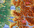
 Volcanic Landscapes, Central Andes labelled.jpg 720 × 480; 208 KB


.jpg)


.jpg)


