Category:Maps of vassal states of the Ottoman Empire
Jump to navigation
Jump to search
Subcategories
This category has only the following subcategory.
M
Media in category "Maps of vassal states of the Ottoman Empire"
The following 25 files are in this category, out of 25 total.
-
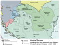
 Central europe 1572 hu.svg 922 × 880; 117 KB
-
 Central europe 1572.png 922 × 880; 120 KB
-
 Central Erope 1572 es.svg 1,122 × 883; 248 KB
-
 Central Erope 1572 HU.svg 1,122 × 883; 243 KB
-
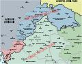
 Central europe 1683.png 1,280 × 971; 406 KB
-
 Vassal states of the Ottoman Empire in 1683 hu.svg 877 × 688; 397 KB
-
 Vassal states of the Ottoman Empire in 1683.svg 877 × 688; 278 KB
-
 Vassal states of the Ottoman Empire in 1683-es.svg 2,557 × 2,000; 1.11 MB
-
 Vassal states of the Ottoman Empire in 1683-pt.svg 2,557 × 2,000; 583 KB
-
 OttomanEmpire1590 with labels.svg 3,596 × 2,582; 711 KB
-
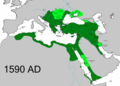 OttomanEmpire1590.png 3,596 × 2,581; 1.21 MB
-
 OttomanEmpire1699-ar.png 3,594 × 2,580; 1.39 MB
-
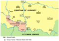
 ProvOttomanEmpire1609.png 768 × 600; 283 KB
-
 Radoslav celnik01.png 985 × 687; 66 KB
-
 Radoslav celnik02 sr.png 985 × 687; 57 KB
-
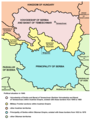
 Serbia and Vojvodina 1848.png 717 × 924; 71 KB
-
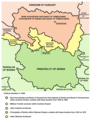
 Serbia1849 04.png 724 × 949; 71 KB
-
 Serbia1849 sr latin.png 724 × 949; 72 KB
-
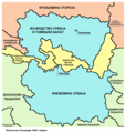
 Serbia02.png 724 × 949; 73 KB
-
 Serbia1849 01 01 04.png 724 × 760; 54 KB
-
 Serbia1849 01 02 02.png 724 × 760; 51 KB
-
 Serbia1849 01 03 03.png 724 × 760; 54 KB
-
 Serbia02 (Voivodina).png 724 × 760; 53 KB
-
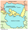
 Voivodship and Serbia.png 724 × 949; 75 KB
-
 Vojvodina-1849-1860-2C.png 724 × 760; 60 KB


.png)

