Category:Maps of the history of colonies of Denmark
Jump to navigation
Jump to search
Countries of Europe: Belgium · Denmark · France‡ · Germany · Italy · Netherlands‡ · Portugal‡ · Spain‡ · Sweden · United Kingdom
‡: partly located in Europe
‡: partly located in Europe
Media in category "Maps of the history of colonies of Denmark"
The following 13 files are in this category, out of 13 total.
-
 Dansk Vestindia.png 250 × 269; 20 KB
-
 Danish Gold Coast.png 500 × 673; 86 KB
-
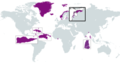
 DanishColonialEmpire.png 6,256 × 3,403; 1.41 MB
-
 DanishColonialEmpireDEST.png 6,256 × 3,403; 1.75 MB
-
 DanishColonialEmpireESTLAT.png 6,256 × 3,403; 1.76 MB
-
 Denmark-Norway and possessions.png 1,357 × 628; 43 KB
-
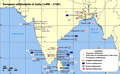 European settlements in India 1501-1739.png 1,140 × 700; 168 KB
-
 Map of Danish Settlements in India (1620 - 1845).svg 512 × 446; 162 KB
-
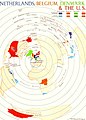 Netherlands, Belgium, Denmark & the U.S., 1954.jpg 1,016 × 1,414; 188 KB
-
 St Croix map.jpg 991 × 665; 170 KB
-
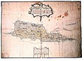 St. Croix map from 1750 Cronenberg.jpg 720 × 522; 97 KB
-
 US NPS marker showing Kueffner's 1768 map of major plantation owners.jpg 5,312 × 2,988; 3.71 MB
-
 USVI - St. John - Coral Bay - Map from 1720.jpg 6,831 × 5,525; 3.89 MB


.svg)


