Category:Maps of provinces of the Democratic Republic of the Congo
Jump to navigation
Jump to search
Subcategories
This category has the following 10 subcategories, out of 10 total.
K
- Maps of Kongo Central (15 F)
M
- Maps of Maniema (4 F)
- Maps of Sankuru (1 F)
T
- Maps of Tshopo (3 F)
Media in category "Maps of provinces of the Democratic Republic of the Congo"
The following 17 files are in this category, out of 17 total.
-
 2006 Nouvelles provinces de la République Démocratique du Congo.png 1,457 × 1,463; 97 KB
-
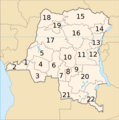
 DCongoNumbered.png 400 × 395; 28 KB
-
 Democratic Republic of Congo Base Map.png 1,108 × 694; 155 KB
-
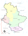
 Democratic Republic of Congo – Orientale Base Map.png 1,109 × 692; 372 KB
-
 Democratic Republic of Congo – South Kivu Base Map.png 1,106 × 698; 359 KB
-
 Democratic Republic of Congo – Équateur Base Map.png 1,108 × 703; 371 KB
-
 DRCongo provinces blank.png 2,000 × 2,000; 24 KB
-
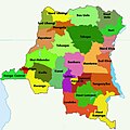
 DRCongo provinces named.png 500 × 500; 15 KB
-
 Katanda1.png 448 × 567; 106 KB
-
 Location map Democratic Congo.png 330 × 355; 42 KB
-
 Provinces de la République démocratique du Congo - 1964.png 640 × 647; 111 KB
-
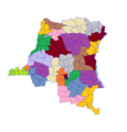 Provinces et Territoires du Republique Democratique du Congo.png 2,368 × 2,472; 142 KB
-
 RDCongo Lukata1.jpg 550 × 548; 206 KB
-
 RDCongo-1966-200px.png 200 × 202; 18 KB
-
 RDCongo-1988-200px.png 200 × 202; 18 KB
-
 RDCongo-200px.png 202 × 202; 23 KB
-
 República Democrática do Congo-Antiga e Nova Divisão.PNG 944 × 480; 87 KB


