Category:Maps of Prince George, British Columbia
Jump to navigation
Jump to search
Media in category "Maps of Prince George, British Columbia"
The following 4 files are in this category, out of 4 total.
-
 1910 map of the Fort George and South Fort George.jpg 1,075 × 1,153; 195 KB
-
 Brett-Hall-plan-Prince-George-1913.jpg 1,000 × 815; 306 KB
-
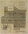 Fort George Townsite plan.jpg 600 × 734; 141 KB
-
 Military in PG.jpg 609 × 607; 65 KB


