Category:Maps of Lithuania under Russian and German empires (1795-1918)
Jump to navigation
Jump to search
Subcategories
This category has only the following subcategory.
Media in category "Maps of Lithuania under Russian and German empires (1795-1918)"
The following 12 files are in this category, out of 12 total.
-
 KRTWKL1812.png 591 × 628; 23 KB
-
 Lithuania-1795-es.svg 863 × 618; 680 KB
-
 Lithuania-1795.svg 863 × 618; 293 KB
-
 Lithuania-1867-1914 DE.svg 860 × 616; 99 KB
-
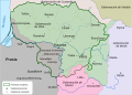
 Lithuania-1867-1914-es.svg 863 × 624; 160 KB
-
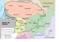
 Lithuania-1867-1914-FI.svg 881 × 638; 191 KB
-
 Lithuania-1867-1914-NO.svg 881 × 638; 191 KB
-
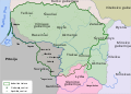
 Lithuania-1867-1914.svg 881 × 638; 191 KB
-
 Litva-1867-1914 be.svg 881 × 638; 188 KB
-
 Map of Lietuva (1867-1914) lang-be.svg 881 × 638; 189 KB
-
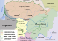
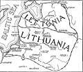 Map of Lithuania-Latvia by Šliūpas.jpg 1,214 × 1,060; 198 KB
-
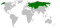 Russia Empire 1800-1900.PNG 1,357 × 628; 36 KB


_lang-be.svg)

