Category:Maps of Le Verdon-sur-Mer
Jump to navigation
Jump to search
Wikimedia category | |||||
| Upload media | |||||
| Instance of | |||||
|---|---|---|---|---|---|
| Category combines topics | |||||
| Le Verdon-sur-Mer | |||||
commune in Gironde, France  .svg)  | |||||
| Instance of | |||||
| Location |
| ||||
| Population |
| ||||
| Area |
| ||||
| official website | |||||
 | |||||
Media in category "Maps of Le Verdon-sur-Mer"
The following 11 files are in this category, out of 11 total.
-
 33514-Soulac-sur-Mer-Sols.png 3,270 × 2,598; 2.2 MB
-
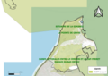
 33514-Soulac-sur-Mer-ZNIEFF2.png 5,866 × 4,133; 9.91 MB
-
 33544-Le Verdon-sur-Mer-argile.jpg 3,057 × 2,480; 654 KB
-
 33544-Le Verdon-sur-Mer-relief.png 3,057 × 2,480; 2.57 MB
-
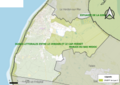
 33544-Le Verdon-sur-Mer-Routes-Hydro.png 3,507 × 2,480; 1.15 MB
-
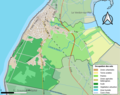
 33544-Le Verdon-sur-Mer-Sols.png 3,270 × 2,598; 1.21 MB
-
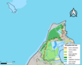
 33544-Le Verdon-sur-Mer-ZNIEFF2.png 5,866 × 4,133; 6.15 MB
-

-
 Le Verdon-sur-Mer Limite communale.jpg 958 × 578; 65 KB
-
 Map commune FR insee code 33514.png 756 × 605; 60 KB
-
 Map commune FR insee code 33544.png 756 × 605; 52 KB


