Category:Kam Hong Street
Jump to navigation
Jump to search
| Upload media | |||||
| Instance of | |||||
|---|---|---|---|---|---|
| Location | Eastern District, Hong Kong, PRC | ||||
 | |||||
Subcategories
This category has the following 9 subcategories, out of 9 total.
Media in category "Kam Hong Street"
The following 24 files are in this category, out of 24 total.
-
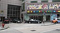
 HK HKU SPACE IslandEastCampus.JPG 1,280 × 960; 219 KB
-
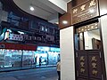
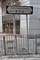
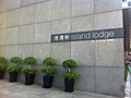 HK North Point 渣華道 Java Road 琴行街 Kam Hong Street 港濤軒 Island Lodge name sign Oct-2011.jpg 2,592 × 1,936; 2.29 MB
-
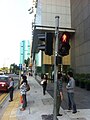 HK North Point 渣華道 Java Road 琴行街 Kam Hong Street 港濤軒 Island Lodge traffic light Oct-2011.jpg 1,936 × 2,592; 1.69 MB
-
-
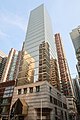
 HK NP 北角 North Point 渣華道 Java Road Kam Hong Street Ka Wai Building February 2022 Px3 02.jpg 4,000 × 3,000; 6.25 MB
-
 HK NP 北角 North Point 英皇道 King's Road night June 2022 Px3 06 bus stop.jpg 4,000 × 3,000; 4.94 MB
-
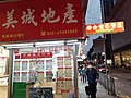
 HK NP 北角 North Point 馬寶道 Marble Road 琴行街 Kam Hong Street December 2021 SS2 02.jpg 4,128 × 3,096; 3.33 MB
-
 HK NP 北角 North Point 馬寶道 Marble Road 琴行街 Kam Hong Street December 2021 SS2 03.jpg 3,096 × 4,128; 3.07 MB
-
 HK NP 北角 North Point 馬寶道 Marble Road 琴行街 Kam Hong Street December 2021 SS2 06.jpg 3,096 × 4,128; 3.23 MB
-
 HK NP 北角 North Point 馬寶道 Marble Road 琴行街 Kam Hong Street December 2021 SS2 sky view.jpg 1,932 × 2,576; 1.08 MB
-

-
-
-

-
-
 HK NP 北角站 North Point MTR Station concourse exit December 2021 SS2 06.jpg 4,128 × 3,096; 3.14 MB
-
 HKU Space Island East Campus 2019.jpg 1,824 × 2,736; 3.25 MB
-
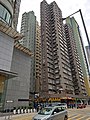
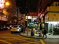
 Kam Hong Street 2015.jpg 2,075 × 1,390; 2.21 MB
-
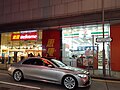
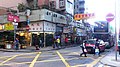 Kam Hong Street near Marble Road.JPG 1,920 × 1,080; 671 KB
-
 Kam Hong Street Road Site in August 2021.jpg 3,456 × 4,608; 4.31 MB
-
 Kam Hong Street Road site in July 2021.jpg 3,113 × 4,608; 1.79 MB
-
 Tsat Tsz Mui Road.JPG 3,648 × 2,048; 1.92 MB
-
 Wikimania HongKong 2013 by Olaf KosinskyDSCF7137.JPG 2,816 × 2,120; 1.4 MB
-
 Wikimania HongKong 2013 by Olaf KosinskyDSCF7138.JPG 2,816 × 2,120; 1.44 MB


