Category:Ingol
Jump to navigation
Jump to search
English: Ingol is an electoral ward and with its near neighbour Tanterton a district of Preston, England. With a golf course within its boundaries and continued new housing development, the area is suburban in its northern and central areas with a more significant low income housing area in its eastern part. Ingol and Tanterton straddle the historic boundary between the former separate council areas of Preston, and Fulwood. (→Ingol)
suburb and former electoral ward of Preston, Lancashire, England  | |||||
| Upload media | |||||
| Instance of |
| ||||
|---|---|---|---|---|---|
| Location | Preston, Lancashire, North West England, England | ||||
 | |||||
Media in category "Ingol"
The following 10 files are in this category, out of 10 total.
-
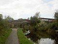 Bridge no. 15 on the Lancaster Canal - geograph.org.uk - 596806.jpg 640 × 480; 63 KB
-
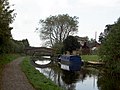 Bridge no. 16 on the Lancaster Canal - geograph.org.uk - 596811.jpg 640 × 480; 82 KB
-
 Holy Family, Ingol - Roman Catholic - geograph.org.uk - 2808585.jpg 2,306 × 1,653; 1,016 KB
-
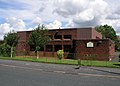
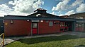 Ingol public library.jpg 5,344 × 3,006; 1.42 MB
-
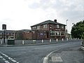 John O'Gaunt, Cottam Avenue, Preston - geograph.org.uk - 811324.jpg 640 × 480; 60 KB
-

-

-
 Ordnance Survey surveyor at Ingol, Lancashire, England.jpg 640 × 480; 107 KB
-
 Duck pond at Tanterton - geograph.org.uk - 118349.jpg 640 × 480; 134 KB
-
 Tanterton Hall Road, Tanterton - geograph.org.uk - 118352.jpg 640 × 480; 86 KB


