Category:Geography of Dún Laoghaire-Rathdown
Jump to navigation
Jump to search
Counties of the Republic of Ireland: Carlow · Cavan · Clare · Cork(1) · Donegal · Dún Laoghaire-Rathdown(2) · Fingal(2) · Galway(3) · Kerry · Kildare · Kilkenny · Laois · Leitrim · Limerick · Longford · Louth · Mayo · Meath · Monaghan · Offaly · Roscommon · Sligo · South Dublin(2) · Tipperary(4) · Waterford · Westmeath · Wexford · Wicklow – Separate cities: Cork(1) · Dublin(2) · – Former counties: Dublin(2) · Former counties of Northern Ireland: Antrim · Armagh · Down · Fermanagh · Londonderry · Tyrone
Subcategories
This category has the following 3 subcategories, out of 3 total.
D
O
- Owendoher River (8 F)
Media in category "Geography of Dún Laoghaire-Rathdown"
The following 15 files are in this category, out of 15 total.
-
 40ft Dun-Laoghaire.jpg 4,000 × 3,000; 6.15 MB
-
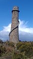 Ballycorus chimney, 2020.jpg 1,836 × 3,264; 1.68 MB
-
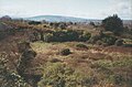 Dalkey hill.JPG 577 × 382; 34 KB
-
 Fortyfoot.JPG 1,024 × 768; 410 KB
-
 Frescatilaw.jpg 440 × 266; 63 KB
-
 Kiliney-Hill.jpg 2,592 × 1,944; 395 KB
-
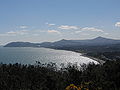
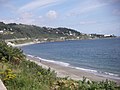
 Killiney Bay, 2024-01-06 01.jpg 4,032 × 3,024; 2.35 MB
-
 Killiney Bay, 2024-01-06 02.jpg 4,032 × 3,024; 3.25 MB
-
 Killiney Bay.jpg 2,592 × 1,944; 1.27 MB
-
 Killiney Bay.JPG 3,072 × 2,304; 1.46 MB
-
 Killiney Hill.jpg 2,592 × 1,944; 1.27 MB
-
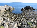
 Rocky outcrop.jpg 1,920 × 2,560; 3.75 MB
-
 Seapoint.jpg 2,560 × 1,920; 3.48 MB
-
 View over Killiney and Dublin Bay from Carrickgollogan Hill.jpg 3,264 × 1,836; 1.74 MB
-
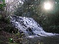 Waterfall in Marlay Park.jpg 1,024 × 768; 211 KB


