Category:Flinton
Jump to navigation
Jump to search
English: Flinton is a village in the East Riding of Yorkshire, England, in an area known as Holderness. It is situated approximately 9 miles (14 km) north east of Hull city centre and lies on the B1238 road.
village in the United Kingdom  | |||||
| Upload media | |||||
| Instance of | |||||
|---|---|---|---|---|---|
| Location | Humbleton, East Riding of Yorkshire, Yorkshire and the Humber, England | ||||
 | |||||
Media in category "Flinton"
The following 23 files are in this category, out of 23 total.
-
 BP from near Flinton - geograph.org.uk - 18720.jpg 640 × 480; 95 KB
-
 Fairfield Farm - geograph.org.uk - 1411087.jpg 640 × 480; 45 KB
-
 Fairfield Farm, Flinton - geograph.org.uk - 525083.jpg 640 × 436; 90 KB
-
 Farmland NE of Flinton - geograph.org.uk - 72108.jpg 640 × 480; 86 KB
-
 Farmlend SE of Flinton - geograph.org.uk - 72109.jpg 640 × 480; 148 KB
-
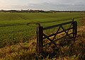 Field near Flinton - geograph.org.uk - 1582618.jpg 640 × 456; 137 KB
-
 Flinton Carr - geograph.org.uk - 1582626.jpg 457 × 640; 124 KB
-
 Flinton field - geograph.org.uk - 1582993.jpg 466 × 640; 165 KB
-
 Flinton from near Tansterne - geograph.org.uk - 18714.jpg 640 × 480; 102 KB
-
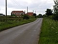
 Flinton Hamlet - geograph.org.uk - 18718.jpg 640 × 473; 70 KB
-
 Flinton hamlet from the east.jpg 640 × 526; 125 KB
-
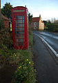 Flinton phone box.jpg 453 × 640; 136 KB
-
 Grange Cottage Flinton.jpg 640 × 464; 103 KB
-
 Hill Farm House Flinton.jpg 640 × 463; 112 KB
-
 Memorial Plaque for Lives Lost During the Great War (24315152936).jpg 3,105 × 2,104; 2.23 MB
-
-
 Pasture House, Humbleton Pastures - geograph.org.uk - 600255.jpg 640 × 464; 70 KB
-
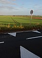
 Road Junction - geograph.org.uk - 18721.jpg 640 × 480; 95 KB
-
 Rough Hill, Flinton - geograph.org.uk - 525059.jpg 640 × 454; 67 KB
-
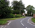
 Sproatley Road Flinton.jpg 640 × 400; 73 KB
-
 Sproatley Road, Flinton - geograph.org.uk - 1582607.jpg 640 × 452; 139 KB
-
 The Manor Flinton.jpg 640 × 473; 98 KB
-
 The Manor, Flinton - geograph.org.uk - 525106.jpg 464 × 640; 100 KB


.jpg)


