Category:Distant views of Cauldcleuch Head
Jump to navigation
Jump to search
Media in category "Distant views of Cauldcleuch Head"
The following 11 files are in this category, out of 11 total.
-
 Cat Sike - geograph.org.uk - 61395.jpg 480 × 640; 76 KB
-
 Cauldcleuch Head - geograph.org.uk - 413230.jpg 640 × 483; 63 KB
-
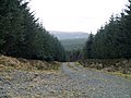
 Farm track at Old Braidlie - geograph.org.uk - 320850.jpg 640 × 480; 73 KB
-
 Footman Hass - geograph.org.uk - 413232.jpg 483 × 640; 81 KB
-
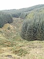
 Forest road near Peelbraehope - geograph.org.uk - 671027.jpg 640 × 480; 248 KB
-
 No Hope at Braidliehope - geograph.org.uk - 570704.jpg 480 × 640; 72 KB
-
 Priesthaugh-hill - geograph.org.uk - 61393.jpg 480 × 640; 77 KB
-
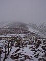
 Starcleuch Edge - geograph.org.uk - 695324.jpg 640 × 480; 38 KB
-
 Swire Knowe - geograph.org.uk - 61408.jpg 480 × 640; 115 KB
-
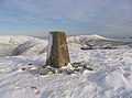 The trig point on Din Fell - geograph.org.uk - 320797.jpg 633 × 467; 45 KB
-
 Tudhope Hill - geograph.org.uk - 303501.jpg 640 × 480; 172 KB


