Category:Crops of India maps by U.S. Army Map Service
Jump to navigation
Jump to search
Media in category "Crops of India maps by U.S. Army Map Service"
The following 12 files are in this category, out of 12 total.
-
 AMS Cuttack, Orissa, Golbai.jpg 813 × 649; 726 KB
-
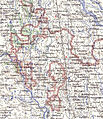
 Benares, Map India and Pakistan 1-250,000 Tile NG 44-12 Banaras (cropped).jpg 1,060 × 834; 281 KB
-
 Chilka-North-c.jpg 2,500 × 1,080; 2.95 MB
-
 Chilka-S-c.jpg 1,521 × 1,994; 1.56 MB
-
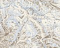
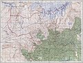
 Dhauliganga and Rishiganga Valleys.jpg 1,925 × 2,809; 2.76 MB
-
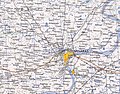
 Hooghly.jpg 1,394 × 854; 369 KB
-
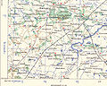
 India Bangladesh border US Army Map Service.jpg 680 × 788; 288 KB
-

-
 Lohachara.jpg 490 × 326; 31 KB
-
-
-
 Txu-oclc-6614190-ng44-11 cropped.jpg 884 × 784; 317 KB

.jpg)


.jpg)

.jpg)
.jpg)
