Category:CIA World Factbook maps of Uganda
Jump to navigation
Jump to search
Media in category "CIA World Factbook maps of Uganda"
The following 19 files are in this category, out of 19 total.
-
 Kaart Oeganda-nl.png 330 × 355; 35 KB
-
 Kaart Oeganda.png 330 × 355; 35 KB
-
 Mapa Ugandy.png 330 × 355; 16 KB
-
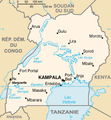 Ug-map-fr.png 326 × 351; 18 KB
-
 Ug-map-HE.png 330 × 355; 35 KB
-
 Ug-map-it.png 689 × 740; 245 KB
-
 Ug-map-RU.png 330 × 355; 16 KB
-
 Ug-map-updated.png 220 × 237; 47 KB
-
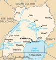
 Ug-map.png 330 × 354; 56 KB
-
 Ug-map.PNG 330 × 354; 21 KB
-
 Uganda CIA map PL.png 330 × 355; 29 KB
-
 Uganda large map.jpg 997 × 1,178; 276 KB
-
 Uganda map de.png 326 × 351; 15 KB
-
 Uganda Physiography.jpg 1,999 × 2,464; 1.42 MB
-
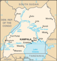
 Uganda sm05 tr.gif 330 × 355; 16 KB
-
 Uganda Transportation.jpg 2,004 × 2,438; 1.25 MB
-
 Uganda – U.S. area comparison.jpg 701 × 851; 333 KB
-
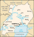
 Uganda-CIA WFB Map.png 330 × 354; 28 KB
-
 World Factbook (1990) Uganda.jpg 531 × 539; 137 KB


_Uganda.jpg)