Category:1950s maps of Tunisia
Jump to navigation
Jump to search
Subcategories
This category has the following 3 subcategories, out of 3 total.
- 1951 maps of Tunisia (2 F)
- 1954 maps of Tunisia (2 F)
- 1958 maps of Tunisia (1 F)
Media in category "1950s maps of Tunisia"
The following 4 files are in this category, out of 4 total.
-
 Desserte de la banlieue Nord de Tunis par le T.G.M..jpg 1,040 × 761; 97 KB
-
 WikiConvention francophone 2018, Grenoble, Mobile imgs 33.jpg 2,884 × 3,563; 9.84 MB
-
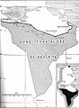
 Zone Bizerte Ferryville 1955.jpg 1,200 × 870; 192 KB
-
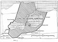
 Zone sud tunisie 1955.jpg 882 × 1,200; 193 KB


